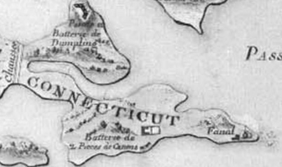
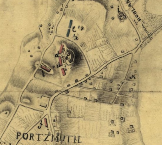
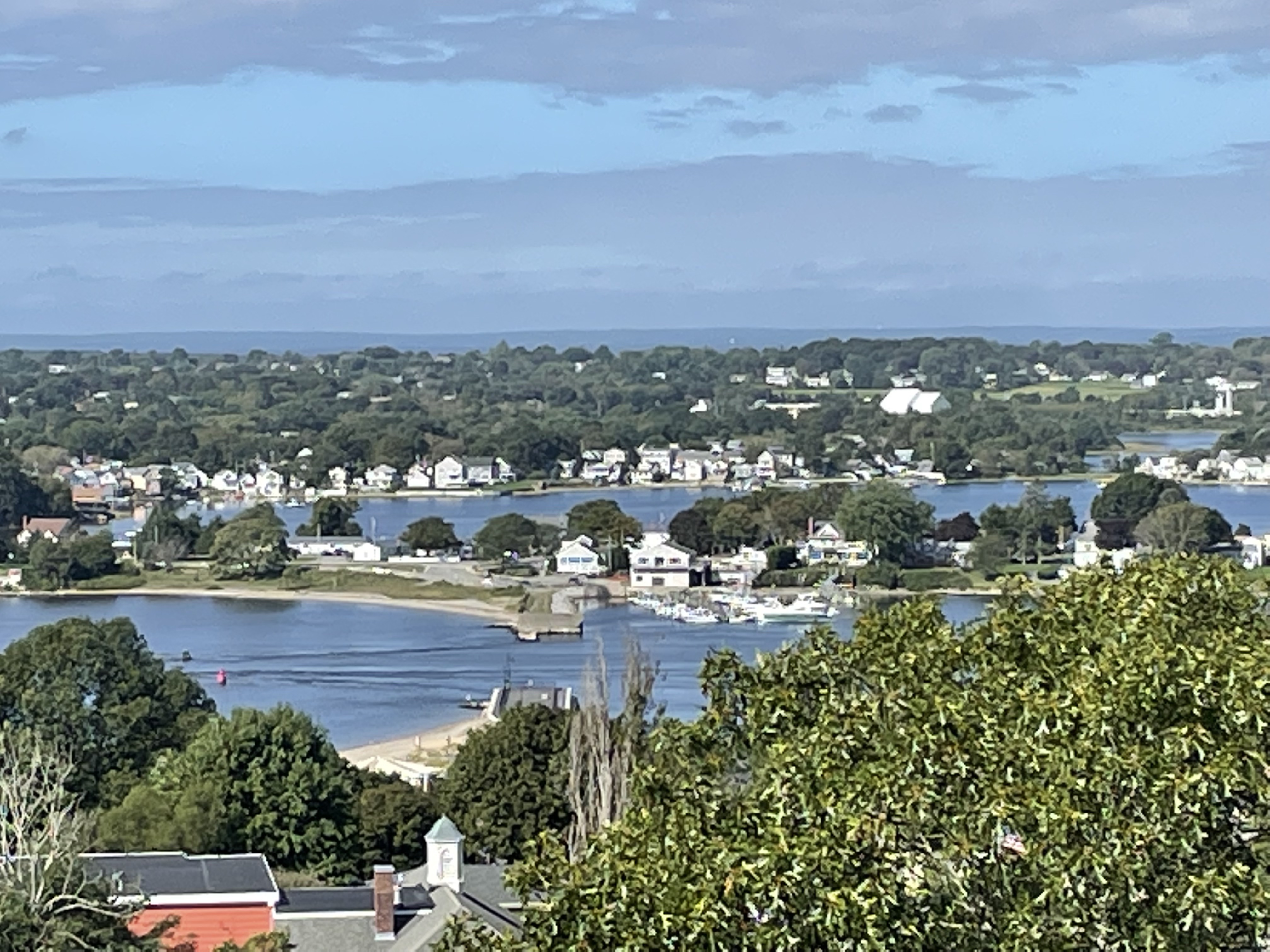
In the 1920s when Dr. Roderick Terry purchased the land to preserve Butts Hill Fort, he also preserved the remains of Fort Barton in Tiverton. You can visit the remains of the Fort at 343 Highland Avenue across from the Tiverton Town Hall. The remains of Fort Barton are located on a rise over 100 feet above sea level so there are commanding views Portsmouth locations like Island Park. Fort overlooked a strategic narrow point of water between the Sakonnet River and Mount Hope Bay. It is the shortest distance between Aquidneck Island and the mainland. This is traditionally known as the Howland Ferry area.
Edward Field
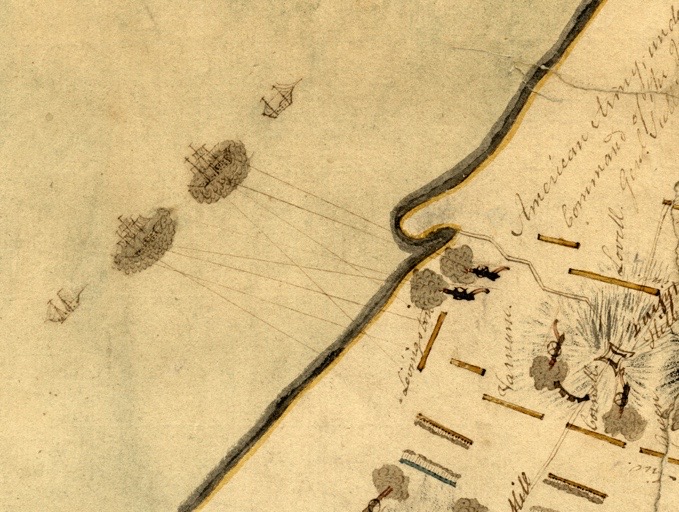
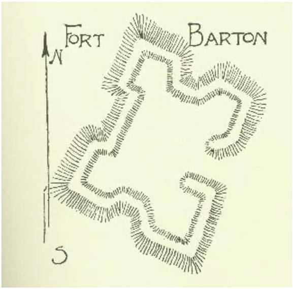
After the British occupied Newport and Aquidneck Island in 1776, Tiverton was a gathering point for Americans. The governments of Rhode Island and Massachusetts worked together on the construction of the fort. On June 11, 1777, British officer Frederick Mackenzie described these efforts in his journal: “The Rebels have been busily employed in making a work on the hill above Howland’s ferry where their guns have been placed all the Winter. It appears to be very extensive, and must cost them a great deal of labour, as there is little or no soil on the hill.” On June 28, 1777, the Americans erected a flagstaff at the fort and raised their colors. The following day, Mackenzie described the fort as “irregular in its figure, but very extensive. From the situation, it must be strong.”
A short while later, Lieutenant Colonel William Barton led a daring raid to capture British General Richard Prescott on Aquidneck Island and the fort has been named in Barton’s honor.
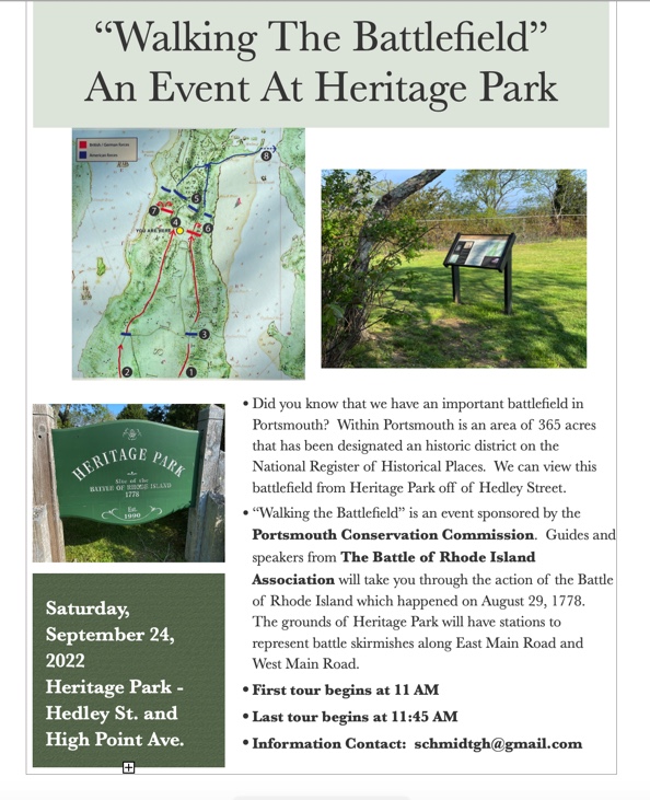
In July of 1778, thousands of Colonial troops—including Paul Revere and John Hancock assembled in Tiverton for an invasion of Aquidneck Island. General Sullivan and 11,000 Continental troops and militia ferried across the narrows to participate in the Siege of Newport. When a storm crippled the French fleet that was off of Newport to support the Siege, American troops had to find their way back to Tiverton and Fort Barton. This military action was known as the Battle of Rhode Island and it was a successful retreat on August 30-31, 1778. After this battle, most of the soldiers scattered, leaving only a handful of men to man the fort.
Resources: D. K. Abbass, Ph.D., “Fort Barton, Tiverton,” Rhode Tour, accessed August 17, 2022, https://rhodetour.org/items/show/52.