Home

Mary Almy’s Journal: The Battle of Rhode Island from a Loyalist View

Leave a comment

In a recent trip to a museum I came across Mary Almy’s miniature portrait and journal as part of a display on American art at the Museum of Fine Arts in Houston, Texas. The two items aren’t usually viewed together. The portrait is in the Rienzi Collection in Houston and the diary is in the Redwood Library collection. Viewing those two items reminded me that Mary’s journal gives us a Loyalist view of what was happening during the British Occupation and the Battle of Rhode Island.

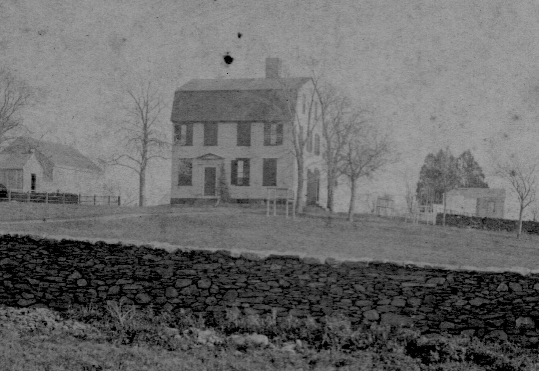
Mary Almy is an interesting figure in history. She was born into the Gould family in Newport in 1735. Her great grandfather, Walter Clarke, served three terms as Governor of Rhode Island. Mary married Captain Benjamin Almy in 1762. Mary was a Loyalist, but Benjamin had volunteered to serve with the militia forces that were supporting the American Continental forces. One wonders how many families on Aquidneck Island were split between Loyalist and American sympathies. Mary ran a boarding house on Thames Street in Newport. Christian McBurney in his book “Spies in Revolutionary Rhode Island” portrays Mary as hosting a Tory spy ring passing information on French movements once the French occupied Newport.

Mary’s journal is written to her husband and relates what was happening in British occupied Newport during August of 1778. Basically it tells about the fears of the coming of the French Navy and ends with the outcome of the Battle of Rhode Island. She writes to him September 2, 1778 – “I am to give you an Account of what Past during the Seige–but first Let me tell you it will be done with Spirit — for my dislike to the Nation that you call your friends..” Mary believed the Patriot cause would end with the “discredit of the Americans.”

The focus of this blog will be her entries on the Battle of Rhode Island.

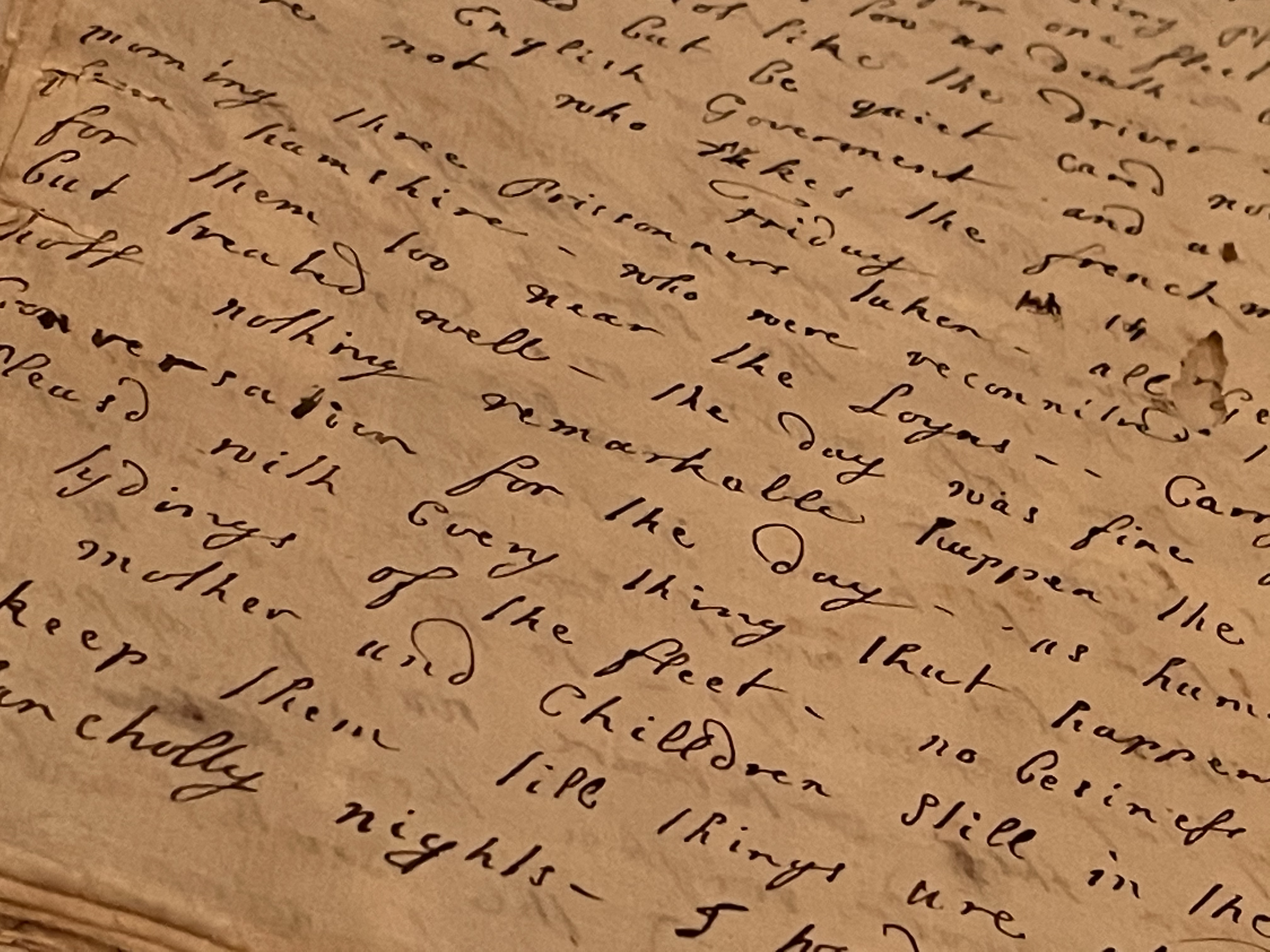
Mary Almy’s Diary – I have converted this somewhat with modern spelling and punctuation.
August 22, 1778

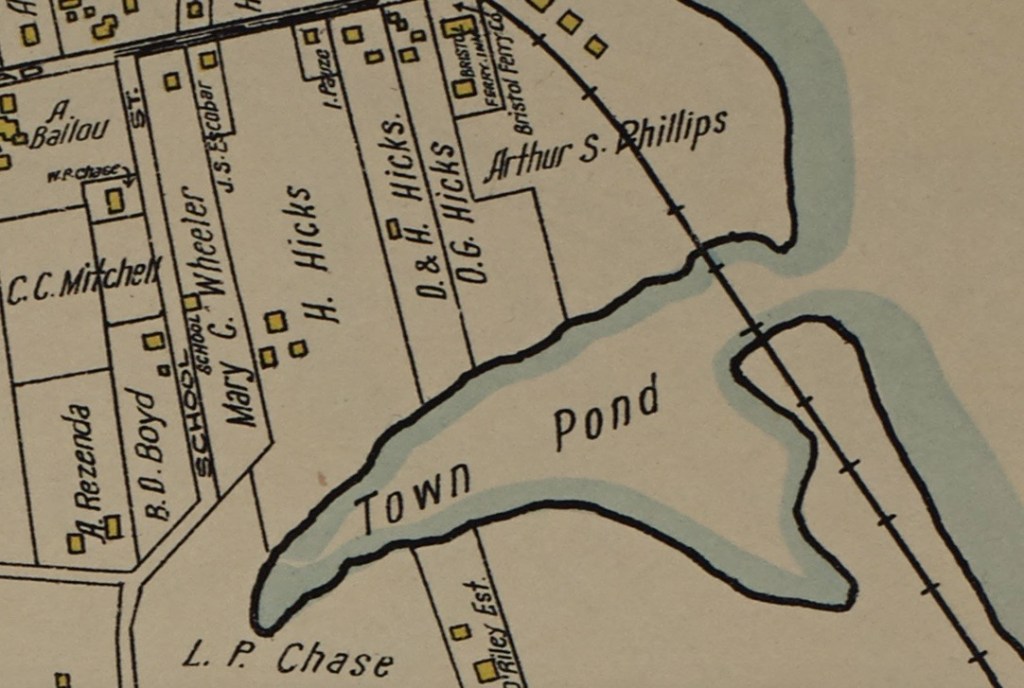
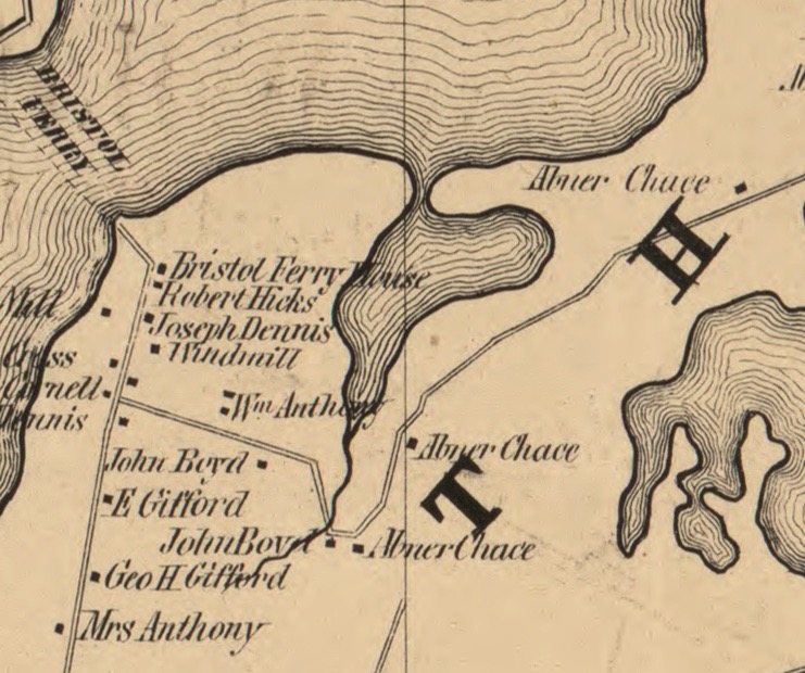
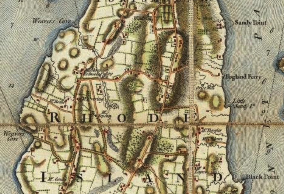
Sent a light horse man to call the 38th back. (38th Regiment of Foot with 334 men in Newport). By this time all was horror and confusion. The Hessians overtook a Party in the West Road (West Main Road, Portsmouth) near Mr. Redwood’s farm. They pursued with violence. The other retreated with prudence leaving the roads strewn with dead bodies. The East Road (East Main Road, Portsmouth) was a scene of blood and slaughter from Cousin Almy’s down the foot of Quaker Hill. All the crossroads filled with them and they kept up a smart fire up until 2 o’clock. Then they began to bury the dead and bring in the wounded. Oh how many wretched families were made that day! It would have softened the most callous heart to see cartloads of wretched men brought in. Their wives screaming at the foot of the cart in consort with their groans. Fine youths with their arms taken off in a moment. In short it is too far beyond my description. The horrors of that day will never be quite out of the remembrance. I quitted company and hid myself to mourn in silence for the wickedness of my Country. Never was a heart more differently agitated than mine. Some of my good friends in the front of battle here and heaven only knew how many of the other Side. Instead of inquiring news or asking after a soul, a stupidity took hold of me at last. I shut myself from my family to implore heaven to protect you and keep you from imprisonment and death. Every dejected look and every melancholy countenance trembled for fear they would say – “your husband lies among the slain” or that he is wounded and a prisoner. Think you what a life I live owing to your violence of temper – which I knew would lead you to all things dangerous.

Sunday morning August 23, 1778

The Provincials encamp on the Wind Mill Hill. Little or no firing from either party. More regiments ordered out. Something great is intended if you should not slip away too soon. Constant riding from Quaker Hill every hour expecting a general battle. My whole heart is sick with melancholy story. Every hospital is crowded with wounded men. No church (services.) No appearance of anything but horror and distress. The Country people will plunder. In the midst of all the confusion some were going to eternity while others were robbing. Innocent farmers houses – death and destruction was before their eyes from every quarter until the officers heard what was doing. They directly ordered guards to every house – whose kind protection was the saving of them. And to do justice to the British, their humanity and leniency was beyond all conception to the wounded prisoners. There was a hospital on purpose for them. Nurses were chosen from amongst the inhabitants that they might have every indulgence that their unhappy situation needed – doctors whose goodness, understanding and compassion might never be forgotten. Whenever justice is done at the end of war, I hope this instance will be in your records. Night is coming on – everything I suppose will be left for daylight.

Monday August 24th, 1778

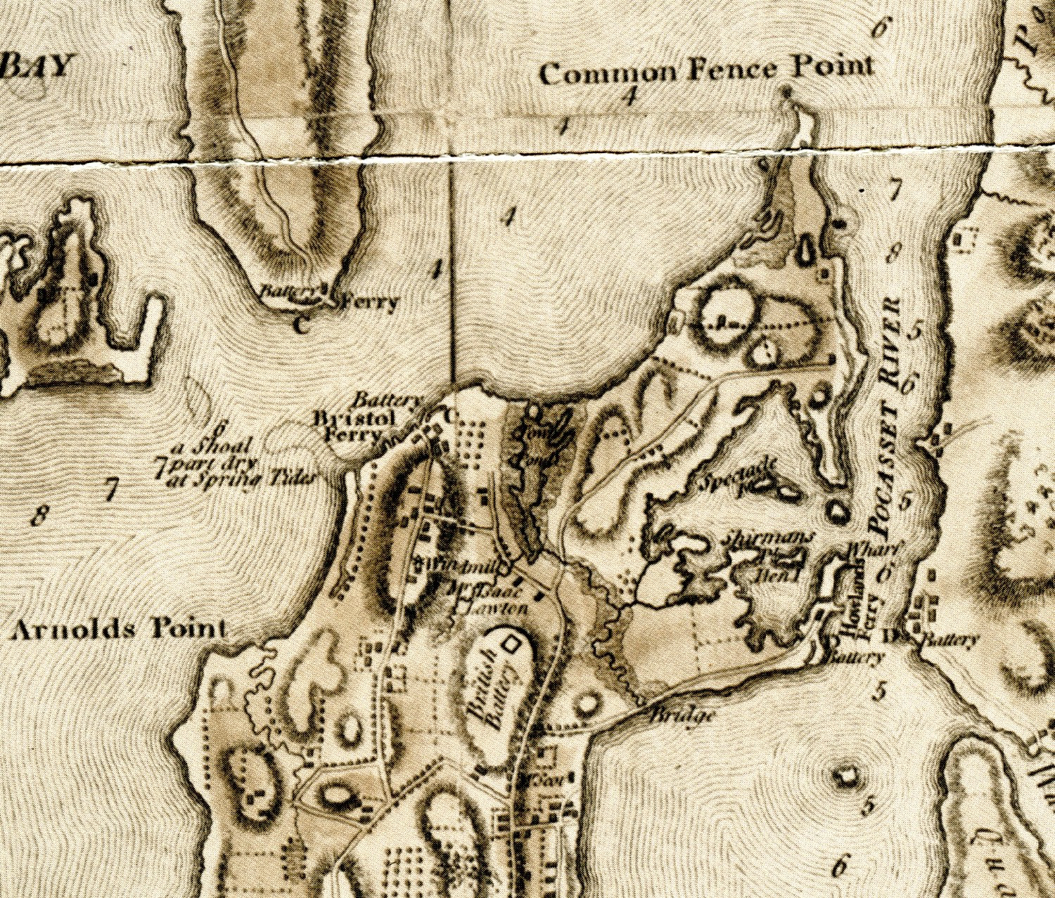
By daylight, the trampling of horses, the different sounds of voices, brought to her thoughts a poor creature who had scarcely had sleep enough to compose her distracted brain but had brought her self willing to hear the worst. Seven o’clock – a light horseman with news. They are retreated – quite gone over Howland ferry. At eight o’clock a messenger. They began to decamp early in the evening and before day. Their artillery, baggage , wounded men and part of the Army were over. At 10 o’clock Thomas Hill came in. He told me he saw you on Friday – that you desired him to let me know by daylight on Monday morning you should be at home at breakfast with a number of gentlemen. Oh, Mr. Almy. What shocking disappointment to you. Can you keep up your spirits? Heaven I hope will support you. So positive, so assured of success. And remember in all your difficulty and trials of life that when the all wise disposer of human events thinks we have been tried, then our patience is waiting. We will be amply repaid by a joyful meeting.

And a joyful meeting they must have had. After the Occupation and War Mary’s Tory leanings didn’t seem to be held against her. She continued with her boardinghouse and hosted Thomas Jefferson in 1784 and George Washington in 1790.

References

McBurney, Christian. Spies in Revolutionary Rhode Island. Charleston, History Press, 2014.

Hattendorf, John B. Mary Gould Almy’s Journal 1778. Published for the Rhode Island Society Sons of the Revolution, 2018.

Town Pond Through the Years

Leave a comment

Have you walked by Town Pond lately? It is so quiet and nature filled it is hard to imagine that Town Pond was once a hub of the early Portsmouth settlement. Many people assume Anne Hutchinson and those traveling with her came from the Tiverton side, but they didn’t.

There is much debate about whether Portsmouth was founded by Anne Hutchinson. What cannot be debated is that Portsmouth was founded because of Anne. When Anne was banished from Boston, a group of her followers decided to come with her. The idea was to make a settlement where there was not a state religion – a settlement where people would be free to follow their individual ways of worshipping God.

About March 7, 1638, while in Boston, a group of men signed what is now known as the Portsmouth Compact. It was an agreement to join together as a “Bodie Politik.” Will and Edward Hutchinson (Anne’s son) traveled to Providence to Roger Williams who arranged a meeting with Narragansett Sachems Miantonomo and Canonicus. On March 24th they gave the sachems “a gratuity” of forty fathoms of white wampum beads, ten coats, and twenty hoes. Randall Holden represented the Hutchinson group. The men continued south on ships to a new home Aquidneck Island in Narragansett Bay. They agreed to make the first settlement on the flat northeastern end which had a natural spring saltwater cove. Their first homes resembled what the Native Americans used. They pitched tents and built huts to live in while they cleared land. The men chose two to three acre house lots between the cove and spring and began framing simple houses.

Anne walked from Boston to Portsmouth. On April 1, 1638 she began a six day walk. With her were children Edward (24), Bridget (19), Francis (17), Anne (12), Mary (10), Katherine (8), William (6), Susan (4 and a half), and Zuriel (2). Anne’s daughter Bridget carried month old son Eliphal. They walked from Wollaston to Quincy, through Braintreee, Brockton, Tauton, and Pawtucket. They slept in wigwams and makeshift shelter along the way to Providence. Providence had about a hundred settlers at the time and was a maritime center. The group with Anne traveled the last sixteen miles by ship to Aquidneck. Their landing spot was Town Pond.

West Land Grant Map

Although the intention was to make a traditional community where the house lots were together. In a short while they would abandon this idea. A segment of the group left in 1639 to found Newport. Those who stayed in Portsmouth regrouped to lots along Founder’s brook. At this time Town Pond was in the middle of activity. There were two springs that provided water – one to the right of Town Pond near the Common Fence that held their animals. The other was by Founder’s Brook and that provided a central gathering spot and washing area. Baulston’s Tavern was located at the southern tip of the Pond. The Training Ground was across the way by the brook.

As the pond began to silt up, the town grew to the South. The leaders set up a new center for the town called “Newtown.” Newtown never gained in popularity because the residents preferred to live on their farm lots rather than together in a town. Portsmouth really has not had a town center – we have neighborhoods such as Common Fence Point, Bristol Ferry, Newtown and Island Park. The Walling Map from the 1840s shows only a few homesT near Town Pond but many more around the Bristol Ferry neighborhood. The 1870 Ward map has a railway running across the mouth of the pond and we can still see the bridge today. The 1921 Sanborn map shows houses along Bristol Ferry Road, but few near the Town Pond. Lots from Bristol Ferry property go across to the Pond.

Town Pond remained a tidal (or Salt) pond until 1949 or 1950 when dredged material from the Fall River navigation improvement was deposited in the Pond. It became a mudflat and brush covered the area. By the 1990s there were efforts to restore the pond. The Narragansett Bay Estuaries Program, with the help of Senator John Chaffee got the Congress to authorize a “Narragansett Bay Ecosystem Restoration Study.” Restoration began in 2005 and was completed in 2008.

During the monitoring of the project, the Army Corp of Engineers recorded the wildlife that they saw around 2010.

“The following list of fauna was directly observed by monitoring crews and is not to be construed as a definitive list of organisms present within the project site:
Invertebrates: Mud crabs, green crabs, blue crabs, blue mussels, fiddler crabs, mud snails, moon snails, oysters (introduced);
Birds: great blue heron, black-crowned night heron, snowy egret, peregrine falcon, redwing black bird, mallard duck, herring gull, laughing gull, killdeer, cormorant, and semipalmated sandpiper;
Fish: silversides, killifish, rock eel;
Mammals: raccoons, white tail deer, red fox.”

In summary, the report states: “The main goal of the Town Pond restoration project was to restore a salt marsh ecosystem by recreating the former habitat in the project area for associated flora and fauna. Based upon the monitoring results we have documented in this report, the restoration project functions physically as an intertidal salt marsh with areas of mudflats and permanent open water. The monitoring indicates that the project met the pre-construction restoration objectives.”*

Today we can take a walk by one side of the Pond and imagine what it was like when the first settlers landed there in 1638.

Reference

Blaskowitz Map: Southern Part of Portsmouth at Pre-Revolutionary Times

Leave a comment

What does the Blaskowitz Map tell us about Portsmouth in the days before the War for Independence? We continue our exploration of the map south of Sprague Street.

What features are marked on the map?

Natural features:

There are two points labeled “Black Point.” One is in the Newtown area and the other is what we call “Black Point” today. “Sandy Point” is what our modern day McCorrie Point is labeled. “Little Sandy Pt.” is our Sandy Point beach area today. Coggeshall Point and Arnold’s Point are on the map. There are two Weaver’s Coves – one in Portsmouth and one at Middletown. The Cove in Portsmouth is by the entrance to Lawton’s Valley.

Man-made features:

There is a Tavern around East Main and Dexter Street. The 1700 Quaker Meeting House is on the map. During the Occupation it was used to house British troops and ammunition was stored in the basement. A fulling mill (to wash and dress wool) was located off of Union Street in the Lawton area. Fogland Ferry is off of Glen Road and heads across to Tiverton. A grist mill (to grind grain) is located within the Glen. Butts Hill is not labeled, but there seems to be troops located there. The orderly rows of dots around the Butts Hill area and to the south of what would be McCorrie Lane today suggest Patriot reinforcements. Blaskowitz’s text mentions that he has included works and batteries raised by the Americans. The location between McCorrie Lane and Glen Road would be a defense against invasion from across the narrow strait of Fogland Ferry. We know that Hessian troops were encamped around there during the Occupation.

Quaker Meeting House circa 1700

Roads: These are listed with the modern names because Blaskowitz did not label the roads.

Dexter Street, Power St. (heading to “Black Point”), Hedley Street, Freeborn Street, Church Lane, Middle Road, Mill Lane, Stub Toe, School House, Locust Avenue, East Main, West Main, Braman’s Lane, Mitchell’s Lane, Union Street, Jepson Lane, part of Sandy Point Ave.

Neighborhoods: Where are the homes distributed?

Newtown area on East side, West Main Road has clusters, South Portsmouth (Wapping Road area) has a number of homes. East Main Road from Quaker hill to Union has dwellings as does Union Street itself.

Slave Owners, Slave Traders: Redwood, Overing and Lopez

3 Comments

When you think of “prominent Portsmouth farmers” do you think of slave owners and slave traders engaged in the Atlantic Triangle Trade? One purpose of Blaskowitz’s 1777 map was to detail the farms of prominent Aquidneck Island farmers. In doing light research into the stories of the “farmers” listed on the map, I became keenly aware that many of Portsmouth’s most important landholders were heavily involved in slavery. We may know Redwood as a philanthropist, Lopez as a merchant and Overing as a loyalist, but their business interests were dependent on the slave trade. As a student of farming in Portsmouth, this saddened me. I should not be surprised, but it is an element of our colonial history that we need to understand.

Abraham Redwood, Jr: West Main Road

Blaskowitz Map detail

The Redwood family had a large sugar plantation in Antigua. Abraham Redwood, Jr. was born in 1709 and he was active in the family sugar business from his teenage years. When his father died, the planation – along with the over 200 slaves that worked it – were signed over to Abraham Redwood, Jr. Some sources say he settled on his father’s estate in Portsmouth in 1727. It was known as Redwood Farm. Other sources say that in 1743 he purchased 140 acres of land in Portsmouth that was part of the Coggeshall land grant. It may be that he added to the land he had inherited from his father. He had a great interest in horticulture and he cultivated rare plants, shrubs and trees. He built a greenhouse, hothouse and a serpentine walk through a meadow. From the West Indies he imported orange and fig trees along with guava and pineapple roots.

Redwood developed a friendship with Bishop George Berkeley and he participated in philosophical discussions with others in Newport. He was instrumental in the founding of Redwood Library “with nothing in view but the good of mankind.” Forty-five others joined in the effort to create a “gentleman’s library” that also included practical books. Redwood was a dedicated member of the Friends Church and donated money for Quaker schools. Redwood is known for his philanthropy and care for the poor, but he declined to free his slaves in Antigua or his Rhode Island slaves – Sampson, Abby, Jenny and Charles.

Henry Overing: West Main Road at the Middletown line

Through the efforts of Barbara Norman Cook (Kittymouse) and Doris Duke’s Newport Restoration Foundation, we still have the Overing House in our community. Few people call it the Overing House. They call it the Prescott House because General Prescott was captured there in July of 1777 by Patriot forces led by William Barton. Henry Overing was a Loyalist, wealthy slave owner, rum distiller and sugar baker in Newport. The house was probably built by the Nichols family and Overing bought the property in 1770. At the time of the sale the property was described as having 55 and a half acres, partly in Middletown and partly in Portsmouth. It bordered the land of John Jepson to the East. The 1774 census lists 3 black slaves on the property. Overing’s Newport household lists 8 slaves. Overing’s business of producing sugar would rely heavily on the infamous Atlantic Triangle Trade. During colonial times, Rhode Island was one point of this “triangular trade.” In the Caribbean slaves worked the plantations that produced sugar and molasses. Ships carried the sugar and molasses to Rhode Island where it was made into rum. The rum was traded in West Africa and exchanged for slaves. 

Vintage image of Overing Farm (Prescott Farm) from the collection of the Portsmouth Historical Society

Aaron Lopez: Wapping Road

Aaron Lopez’s family came to America to flee the persecution of the Jews in Portugal. In 1752 he moved to Newport and developed diverse business interests. He traded in Caribbean goods such as sugar, molasses and cotton. He later traded in spermaceti wax for candles that were made from sperm whale oil. In 1756 he had a business that manufactured the candles themselves, and later spread out to the manufacture of barrels, rum, and ships. With his father-in-law Jacob Rivera he entered the slave trading business with up to 20 ships in the slave trade from Africa to the Caribbean as well as The Atlantic coast of the colonies. They carried on this trade from 1761 to 1774.

In writing to one of his captains, Lopez instructed: “Our orders to you are, that you Embrace the first fair wind and make the best of your way to the coast of Africa,” wrote merchant Aaron Lopez to Capt. William English. “When please God you arrive there . . . Convert your cargo into good Slaves” and sell them “on the best terms you can,” ordered Lopez, who outfitted four slave ships that year.” * (reference below)

One estimate is that their ships brought over 1100 slaves from West Africa to the West Indies and southern colonies. With the War for Independence his businesses suffered. He moved from Newport to his farm in Portsmouth. Greenvale Vineyard owns some of land that once was Lopez’s property. The owners have found evidence that he grew grapes there for wine that would be used at religious ceremonies. He fled to Massachusetts and was known for sheltering Jewish families.

Lopez, Overing and Redwood all had personal slaves. All three benefited from the infamous Triangle Trade. Lopez actively traded in slaves. Redwood was a West Indies plantation owner whose fortune was made on the backs of slave labor. Overing’s business relied upon the Triangle Trade for raw materials for the sugar business. In viewing Portsmouth history we have to acknowledge that our town benefited from the money brought in through this trade. Newport was the primary market for Portsmouth produce and much of the money that paid for that produce was earned through the slave trade somehow. Lopez and Redwood are known for the good they have done in establishing libraries and synagogues that have lasted until this day. We need to acknowledge all aspects of their impact on our community.

______________________________

“Captives on the Move: Tracing the Transatlantic Movements of Africans from the Caribbean to Colonial New England.”
Author: Kerima M. LewisSource: Historical Journal of Massachusetts, Volume 44, No. 2, Summer 2016, pp. 144-175. Published by: Institute for Massachusetts Studies and Westfield State University

Portsmouth’s “Principal Farmers” – Merchants, Slave Ship Owners,Spies and Statesmen – Bowler, Elam and Jepson

Leave a comment

One line in the text of Blaskowitz’s Map leads us to believe that Aquidneck Island farmers may have ordered this edition of the map. “Taken by Order of the PRINCIPAL FARMERS on Rhode Island.” So who were these farmers whose farms were listed on the map? The stories of these men tell us a great deal about Portsmouth in the days before the War for Independence. They demonstrate the interconnectedness of Portsmouth to the Newport commerce and society. Portsmouth’s “gentleman’s farms” did not start with the Vanderbilts and Taylors, they started back in colonial times. Newport merchants and slave ship owners had their business and house in Newport, but they also had their country farm in Portsmouth. This blog will provide a short sketch of the farmers and their backgrounds. This is the first of the blogs on the topic of these “farmers.”

Blaskowitz Map of South Portsmouth

Metcalf Bowler: Wapping Road:

Hidden among the papers of Sir Henry Clinton, the British Commander during the American Revolutionary War, was the story of a well known Portsmouth farmer and Newport merchant who played the role of spy.  The spy was none other than Metcalfe Bowler whose farm was on Wapping Road.  Metcalf Bowler did an excellent job of hiding his spy activities.  He was an important man in the Rhode Island Colonial government.  When Rhode Island decided to become independent from Great Britain, Bowler was one of the men who signed the document that would be sent to the king.

Among the letters to Clinton was one dated Dec 12, 1776 from Portsmouth. Bowler (writing as “Rusticus”) claims that even though he has accepted government positions (such as Chief Judge) in the American side of the war, he is still acting loyally to the British king. He begs for protection for his home in Portsmouth. “As the Hessian troops quartered on the island …having committed many outrages…on many of the inhabitants by entering their Houses and …even putting them in fear of their lives – as I am situated on the Island, should esteem it a favor …if your excellency would order a guard to my habitation (house) at Portsmouth that I may be protected from the insults of the Hessians.” This letter may give a clue to why Bowler would work as a spy. He wanted his home protected.

Unfortunately Bowler’s farm was damaged just as much as the surrounding farms. His letter provides a first hand report of the damage done to Portsmouth farms during the occupation by British troops. There was great fear of the Hessian troops that were camped in Portsmouth. In a later letter he wants money for the damage to his property. His home and garden in Newport were used as a British hospital. His Portsmouth farm was damaged, his cow was taken to feed the soldiers, his library books were stolen and his cart and horses were taken away. They were not able to grow any crops during the time the British held the island. “I shall not be able to support my self and family on the Island through the approaching dismal winter.” He asks the British for protection for himself, his family and his black servant. Bowler’s letter gives us an excellent example of what happened to Portsmouth farms during the Occupation.

Bowler’s Home on Wapping Road

Gervais Elam: Wapping Road

When we hear the name Elam we might think of Samuel Elam and Vaucluse Farm. Before the War for Independence, it was Gervais Elam, his uncle, who owned the property. Gervais was from Leeds, England. He was considered an “eminent clothier.” When he died in 1784 his nephew Samuel put the property up for sale. This advertisement gives us a wonderful idea of what the farm was like in Gervais’ day. Note that the ad suggests it is a good spot for someone to retire from business and “recover the effects of long residence in war and sultry climates.”

Newport Mercury 1785 June 4th

On the 15th day of August next, will be sold at public venue, in the city of Newport, when the terms of sale will be made known. Possession to be given in the month of march next.

The valuable farm and country seat at Portsmouth, Rhode Island late belonging to Gervais Elam, deceased, containing about 150 acres of excellent land, suitable for meadows, pasture or grain on which is a fine young Apple Orchard. It lies on a public road, five miles from Newport, adjoining to land late belonging to Metcalf Bowler, Esq.; and upon the sea or sound called the Secunnet Passage- having a gradual descent to the water.

The buildings are in good order and consist of a large new built frame house, two stories high having a spacious passage and four rooms on one floor with col(?) and garrets complete, and suitable out buildings- the whole is situated on an eminence which commands a pleasingly varied and extensive prospect over a beautiful wooded Country bounded by the ocean.

A considerable stream of fresh water runs through the middle of the farm, which has fall sufficient to rend it capable of being converted to the most useful purposes, and in a peculiar manner of those of elegance and pleasure – while its boundary on the sea affords, besides the conveniences of fishing and water carriage, the real advantage during most winters, of having a quantity of sea-weed thrown upon the shore more than sufficient to Manure the whole. These advantages added to the pleasant and healthy situation of this far in to open and airy a part of the island renders it an eligible spot for those who wish to retire from business or recover the effects of long residence in the warm and sultry climate of the West Indies or southern states.

John Jepson: Jepson Lane

Jepson’s farm was located by Portsmouth/Middletown on what we know as Jepson’s Lane. He was a statesman who represented Portsmouth in colonial government as a Senator, Deputy and Judge. He was an assistant to the Governor and the General Assembly in 1776. It was difficult to find much information on him, but several sources list him among the Newport slave traders. He was one of the founding members of the “Fellowship Club” in 1752 that was an association of many of the captains of slave ships.

Portsmouth During Revolutionary Times: What the Blaskowitz Map tells us about Northern Portsmouth

Leave a comment

In reading a map for information, it helps to view the map in smaller sections to pull out the information. I am focusing on the Northern portion of the town – basically Sprague Street and north. As I view the map I try to put elements into categories. I encourage my readers to view the map and let me know what they see that I have missed.

Transportation -Roads

Looking at today’s map as well as the Blaskowitz Map, these are the roads I see. Blaskowitz does not label the roads, so I will use today’s labels

Park Avenue which would head toward the Howland Ferry

Bristol Ferry Road which would head toward the Bristol Ferry

Part of Boyd’s Lane

Sprague Street

Child Street

Anthony Road

East Main Road

West Main Road

Water Street

Transportation: Ferries

Bristol Ferry which was the main route to Bristol and the North

Howland Ferry which was the main route to Tiverton and Massachusetts to the East

Military Sites: Batteries

Blaskowitz noted where Americans had placed defenses before the Occupation, but he also includes British battery along East Main Road to the north of Sprague Street.

Howland Ferry Battery: This is an important place for the Americans who used this narrow area as a point to move their troops onto the island and when the battle was done to escape off the Island to Tiverton and the safety of Fort Barton.

Bristol Ferry Battery: Edward Field’s paper on Revolutionary Defenses a diagram of the Fort at Bristol Ferry. See Reference below.

Farmers and Farms

Mr. Scott’s farm was located between Child Street and Park Avenue. I could not find information on Mr. Scott, but he may have been a Newport merchant and or Captain who had a country farm in Portsmouth. He was not included in the 1778 tax roll.

Isaac Lawton’s farm was located around East Main Road heading toward Boyd’s Lane. Isaac is active in the Quaker church. After the War for Independence many Quakers began to give up their slaves and Isaac’s widow, Mary Fish Lawton, was among those who freed her slave.

Geographic Features

To the East: Common Fence Point, Spectacle Island, Sherman’s Point, Hen Island, Town Pond, Pocasset River

To the West: Arnold’s Point, Shoal by Bristol Ferry that is part dry at Spring Tides

Man-Made Features

To the East: Bridge by Park Avenue, Wharf by Howland Ferry

To the West: Windmill by Bristol Ferry Road

Distribution of Homes

Where did Portsmouth residents live? In this section of the map there are two basic communities. The largest collection of homes was in the Bristol Ferry Road neighborhood. This was one of the earliest areas established when the original land grants were given out. This would have been a high volume transportation route, so there were accommodations for travelers, taverns and other commercial properties here. The second community seems to be in what is called the Newtown area around Child Street and between East Main Road and Water Street. This was an area established when the Town Pond became silted up in 1728 and the original settlement around Anthony Road were abandoned.

Resources Used:

REVOLUTIONARY DEFENCES
IN
RHODE ISLAND
AN HISTORICAL ACCOUNT OF THE FORTIFICATIONS AND BEACONS ERECTED DURING THE AMERICAN REVOLUTION, WITH MUSTER ROLLS OF THE COMPANIES STATIONED ALONG THE
SHORES OF NARRAGANSETT BAY
BY
EDWARD FIELD
PAST PRESIDENT OF THE RHODE ISLAND SOCIETY OF THE SONS OF THE AMERICAN REVOLUTION
WITH MAPS, PLANS, AND ILLUSTRATIONS
PROVIDENCE, R.I. PRESTON AND ROUNDS 1896

Life in Portsmouth Prior to the War for Independence: Clues from the Blaskowitz Map

Leave a comment

Vintage maps hold a special store of information for the local historian. I am exploring the question of what Portsmouth was like during Occupation by British forces, so I turn to one of the best resources, the Blaskowitz Map. The map is available online at the Library of Congress website. https://www.loc.gov/item/74692135/. You can download the map and zoom in to explore it in detail. Historians learn to “read” a map to extract information and I will be doing this a section at a time. In this first blog I will be taking the first step – viewing the map as a whole. I welcome my readers to view the map as well and add to what I find. I will be focused on Portsmouth, but Blaskowitz also mapped out the streets and features of Newport as well.

One of the initial questions a historian asks about a map is who created it and why. Who was Charles Blaskowitz and why did he create this particular map? He was a skillful British military surveyor. Charles was assigned by Samuel Holland in 1764 to create a chart of the coast of Rhode Island to determine if Newport would be a good harbor for a naval base. This map may have been redrawn a number of times and used for different purposes. Some suspect local farmers paid Blaskowitz to add their farms in 1771. There is a key with the names of the major farmers and their farms are plotted out on the map. Once the British occupied Aquidneck Island in 1775, some think he redrew the map in 1777 to add the British defenses for the positioning of British ships in Narragansett Bay. Batteries (groups of cannons) are included on the map and although there is no key for them, troop locations seem to be included on the island.

Portsmouth batteries are listed for Bristol Ferry with 3 18 pound guns and Howland’s Ferry with 7 guns 18 and 24 pounders. “Brittish” Batteries are also labeled on the map.

Map text reads as follows:

A Topographical CHART of the
BAY of NARRAGANSET in the Province of NEW ENGLAND.
with the ISLES contained therein, among which
RHODE ISLAND and CONNONICUT
have been particularly SURVEYED.
Shewing the true position & bearings of the Banks, Shoals, Rocks &c, as likewise the Soundings:
To which have been added the several Works & Batteries raised by the Americans.
Taken by Order of the PRINCIPAL FARMERS on Rhode Island.
By CHARLES BLASKOWITZ.
Engraved & Printed for WM. FADEN, Charing Cross, as the Act directs, July 22d. 1777.

This is a “Topographical” map. It tries to be a two dimensional representation of a three dimensional earth. It shows man-made and natural features such as hills, valleys, rivers, forests, roads, bridges and other things. Blaskowitz states that he has particularly surveyed Rhode Island (Aquidneck) and Conanicut Island (Jamestown). Added to the map were the batteries which may have been a cluster of cannons. These artillery posts were “raised by the Americans.” The map includes the lands of the principal farmers of the island and there seems to be outlines of some of their farms. One thing we will do later is to find the farmers listed for Portsmouth. Often Newport merchants had their country homes and farms out in Portsmouth.

Blaskowitz goes on to describe Aquidneck Island. We get a sense of the life before the Occupation.

“The COLONY of RHODE ISLAND is situated between the 41st. and 42d. Degrees of N.Latitude, and between the 71st. and 72d. Degrees of W.Longitude, in the most healthy Climate in North America, to which many Inhabitabants of the Southern Colonies and West India Islands resort in Summer as a place of health. The Winters are severe, though not equally so with that of the other Provinces, but the Summers are delightful, the violent and excessive heats to which America in general is subject, being allayed by the cool and temperate breezes that come from the sea. It enjoys many advantages. Has several large Rivers, and one of the finest Harbours in the World. Fish of all kinds are in the greatest plenty and perfection. The horses are boney and strong, the Meat Cattle and Sheep are much the largest in America, the Butter and Cheese excellent, and every necessary of Life in Attendance. They have no established form of Religion. Episcopalians, Independents, Quakers, Annabaptists, Saba-tarians, Jews, Moravians, and all other Sects whatever, have liberty to excercise their several professions. Newport, the chief town is situated upon an Island, of about 16 miles in length, and 4 or 5 in breadth, called Rhode Island, whence the Province takes its name. It is the Capital City, and contains nearly 10,000 Inha-bitants. It has a Town House, Market House, Library and a spacious Parade, but there is few private Buildings in it worth notice.”

What does he tell us about life before the War for Independence?

  1. Aquidneck Island had a temperate, healthy climate that attracted Southern people as a summer resort.
  2. The island had large rivers and one of the finest harbors in the world. That would be in Newport, not Portsmouth.
  3. Fishing was plentiful.
  4. Farmers were raising horses, cattle and sheep. The livestock was among the best in America.
  5. Farmers produced excellent butter and cheese.
  6. There is no established religion, so people “have liberty to exercise” their faith.

In trying to understand what happened to Portsmouth during the British Occupation it is important to have an idea of the town before the War. The Blaskowitz Map details life on Aquidneck Island before the Occupation. Even though the date of engraving was 1777, the surveying was done much before that. Exploring this map provides the clues to understanding all that Portsmouth had to lose once it was occupied.