What’s the story of Portsmouth’s various neighborhoods? Over the winter I will be gradually exploring our communities. What history happened here? Who are people of note who lived here? What can you see of the past and what recreations can you enjoy today?
Portsmouth has never had a central “downtown” area like most communities. The original settlers tried to create a traditional town with residences clustered together and farm lots further away, but that is not what the settlers wanted.
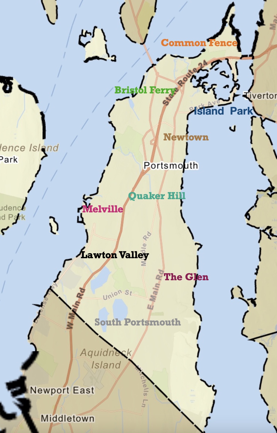
Original settlements centered around Common Fence and Town Pond. They opted to live spread out on their farmlands. So Portsmouth developed neighborhoods instead of a central town.
Some of those neighborhoods centered around the ferry landings – Bristol Ferry Road and Glen Street heading to the Fogland Ferry.
The Glen area of Portsmouth featured the grand Taylor family Glen Farm.
South Portsmouth featured large “Gentlemen’s Farms.”
Quaker Hill and Middle Road took on importance as a central spot with Town Hall and the Quaker Meeting House.
The Melville area took on importance when the military claimed most of the Westside of town.
Lawton’s Valley – Wading River was the home of Julia Ward Howe and the site of the mysterious death of Rebecca Cornell.
Newtown was a planned central downtown, but it never seemed to reach its promise. The location along East Main Road, however, made it somewhat a commercial and social area with churches, the library and businesses.
Island Park was created as a summer resort and Park Avenue – on the way to the Stone Bridge and Ferry, was as close to a “downtown” as Portsmouth ever would experience.
The Battle of Rhode Island Association has sponsored valuable research on the construction of Butts Hill Fort by Robert Selig and John K. Robertson. I am just now getting around to digesting the reports as I work on a timeline of what happened at the fort during the “Camp Butts Hill” period of 1780 to 1781. This is the first in a series of “Digging In” to the research. Today I am doing a close reading of Robert Selig’s article “Rochambeau’s Engineers at Butts Hill Fort July 1780 to June 1781.” The article appears in the Battle of Rhode Island website – battleofrhodeisland.org.
When the French arrived on Aquidneck Island, they found that work was being done on Butts Hill Fort. Selig writes about a diary entry of Ervoil d’Oyré. Describing the defensive works, he found upon arrival in Newport in July 1780: “Finally, the works built by the Americans on the north of the island were re-established and repaired to assure communication with the continent.”
Selig writes about the French intentions on Aquidneck Island in their early days on the island.
“Prior to the arrival of Rochambeau’s forces in Rhode Island in mid-July 1780, Butts Hill Fort ‘was the only fort active on the north end of the island.’ As Rochambeau set up defenses against the anticipated and feared British attack, he sought to strengthen Butts Hill Fort to block any access from the north. Earthworks had been set up earlier in the war and repairs and additions were made by Massachusetts State troops, but French engineers almost immediately provided the expertise that the Americans lacked.”
Selig goes on to say that on the 9th of July, 21 British ships were seen near Newport Harbor. .
“The next morning Rochambeau accelerated the construction of defensive works, not only around Newport but at Butts Hill Fort as well. An entry in the journal of Major Marius de Palys’s Journal de Campagne, mentions the redoubts at Howlands Ferry and Butts Hill Fort.
” ‘Eight days had elapsed since the commencement of the work, and no thought had yet been given to fortifying the point of the island which should have 1st thought of. This is the point of Howlands Ferry, and Monsieur de La Fayette decided to occupy it better than it was at the time. There were two bad redoubts, which were connected and formed into a respectable fort, which had not been finished, the fort and another in the shape of a star, which protected the ferry together with a battery on the mainland assured communication with the mainland, which was essential for relief or retreat in case of misfortune.'”
Palys’s Journal continued: “Eight days had elapsed since the commencement of the work.”
That would place the date of the beginning of the work to around 28 or 29 July 1780. Selig tells us that La Fayette spent ten days in Newport from the evening of 24 July to late afternoon 3 August 1780. In a letter to General George Washington, dated “Newport july the 26th at seven o’clock P.M.,” he informed Washington that he “could not help advising him [i.e., Rochambeau] very Strongly and very often to erect works and keep a communication oppenn’d with the Continent By Howland’s Ferry or Bristol Point. That matter will I hope be attended to in the Course of the next day.”
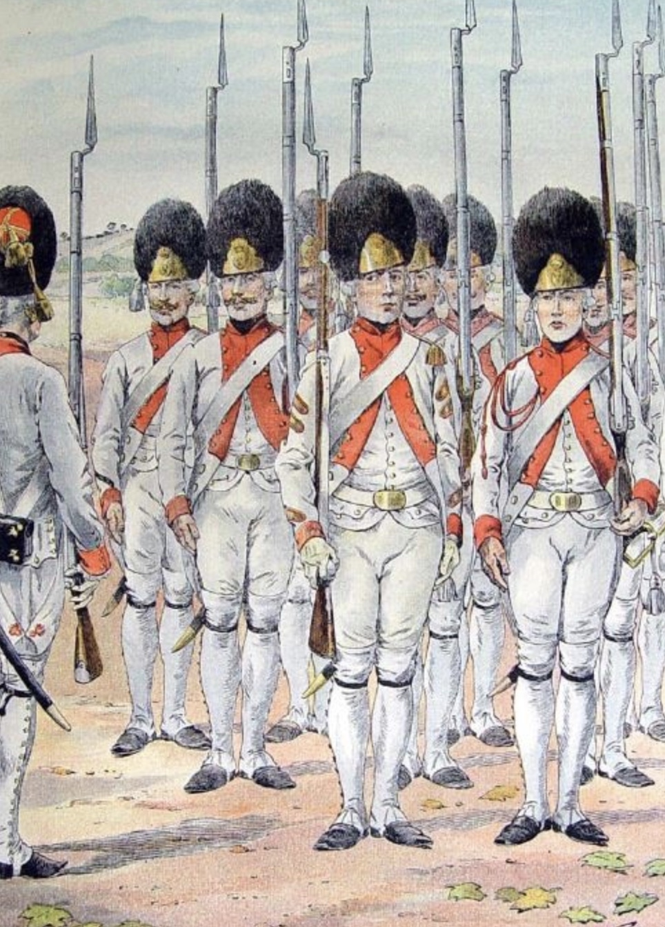
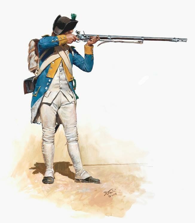
When I started researching Butt Hill Fort, I found several orderly books from Massachusetts militias who were at the fort. I imagined a few French engineers supervising the American workers. Reading through Selig’s translation of a French orderly book gives me a different image. There was a constant French presence at the fort with a five day rotation of men from Soissonnois, Santonge, Royal Deux Ponts, and Bourbonnais. Every five days a new detachment would leave Newport at 7 AM. “This detachment will march with arms and baggage to Butts Hill Fort near Howland’s Ferry to work there as directed to them by the engineer who will be there. They will take with them cooking pots, mess tins, asks, and provisions for five days …The captain who will command the detachment order to work at Butts Hill Fort, a mile from Howland’s Ferry, will keep his soldiers in good order and discipline, he will order each day one corporal and four men as guards, and will not allow more than one cook to be employed per regiment in order to keep as few men as possible from the work.” (Order of 9 December 1780).
The orders of December 28, 1780 provide the duties of the French troops -“for the security of the post, the police of the guard, and the preservation of the fort’s works,” The detachment takes orders from Monseur de Palisse, Major of the Royal Corp of Engineers and from Monsieur Planchard.
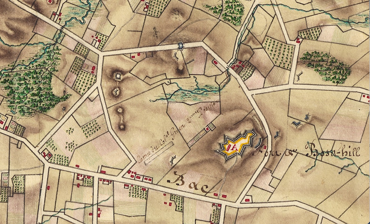
The French Orderly book lists orders from December 23, 1780 to June 7, 1781. French forces left Aquidneck Island to travel south in June of 1781. The road to Yorktown began with Aquidneck IsIand. On their way to Bristol Ferry the French army would pass nearby the fort they had been working to build.
Soissonnais Regiment.Royal Du Pontes1780-81 map showing Butts Hill Fort
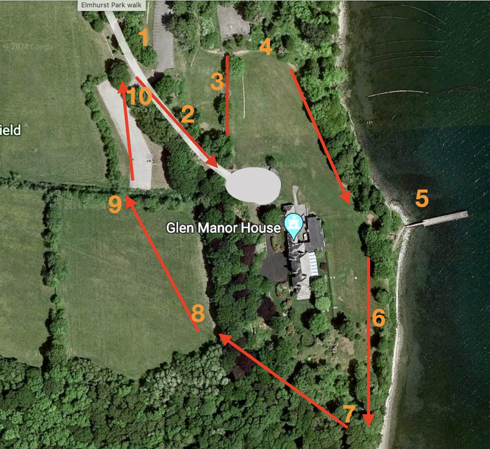
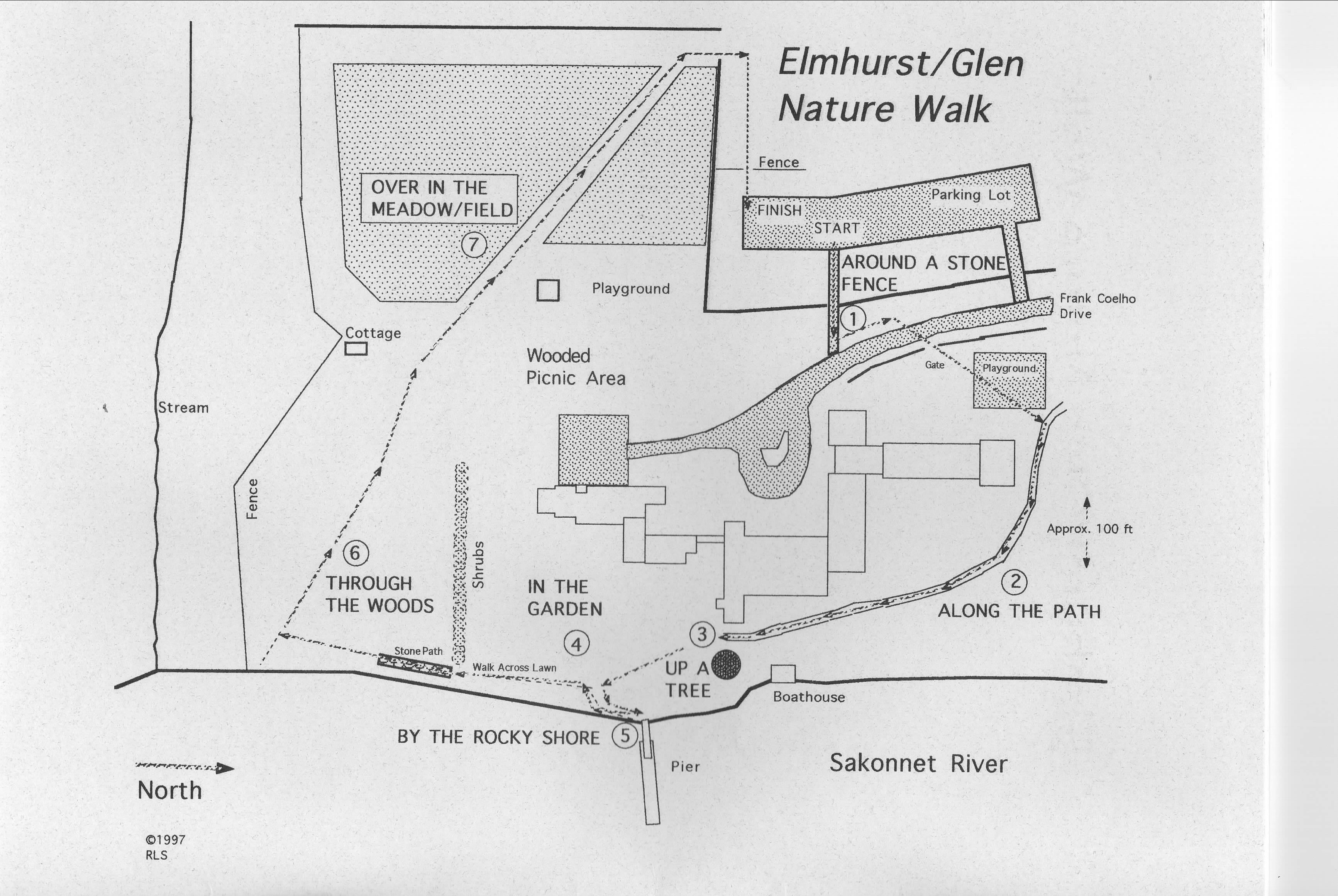
As librarian at Elmhurst School, I liked to teach research skills by having my students work on a local project. Elmhurst is gone now, but the setting of our school offered spectacular subjects for study. In 1996 through 1997 my students worked on an Elmhurst/Glen Nature Walk. Today my husband and I revisited that walk and found that we can still enjoy the variety of habitats along the way.
The walk is about 3/4 of a mile long and is easy going most of the way. The path is not quite the same as it was over 20 years ago.
Starting Point: This is the new parking lot for “Elmhurst Park.”
Follow Frank Coelho Drive towards the Manor House.
As you approach the old Elmhurst Circle, take the old Elmhurst Playground walkway toward the left.
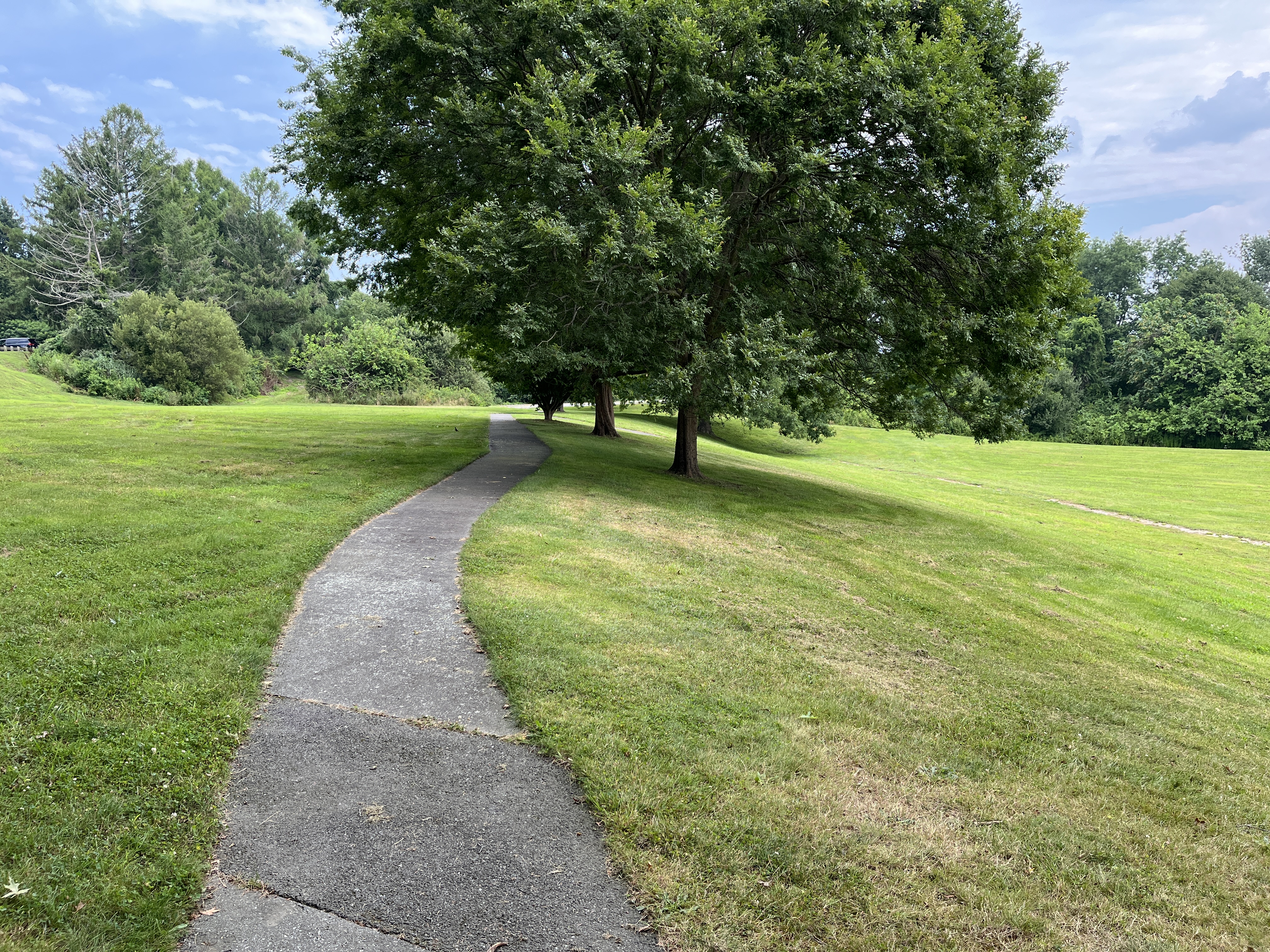
At the end of the walkway turn right. There are remains of a carriage path that was the way to the old Fogland Ferry. This was the “Along the Path” section of our booklet.
Most of this is grass now, but throughout the warmer months it is a nice place to see some wildflowers. My students used to take pictures of them so we could identify them with field guides. Now you can identify them through a google information setting.
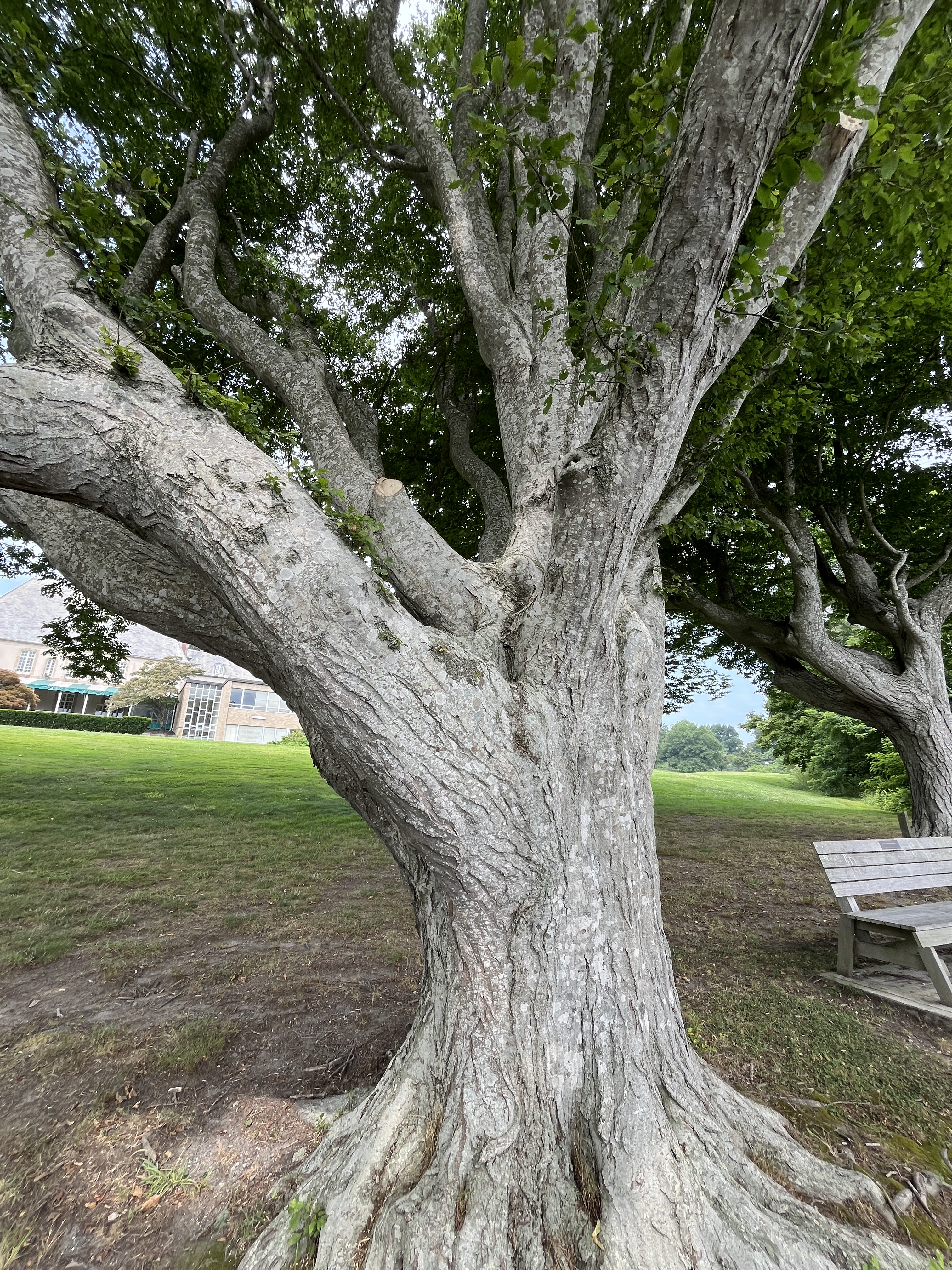
Toward the water there are still some of the old trees from the days when the Taylor family lived at the Manor House. Mrs. Taylor was very particular about where each of these trees were planted in the 1920s. Our students studied the old trees as habitats in themselves. We called this “Up a Tree” in our guide.
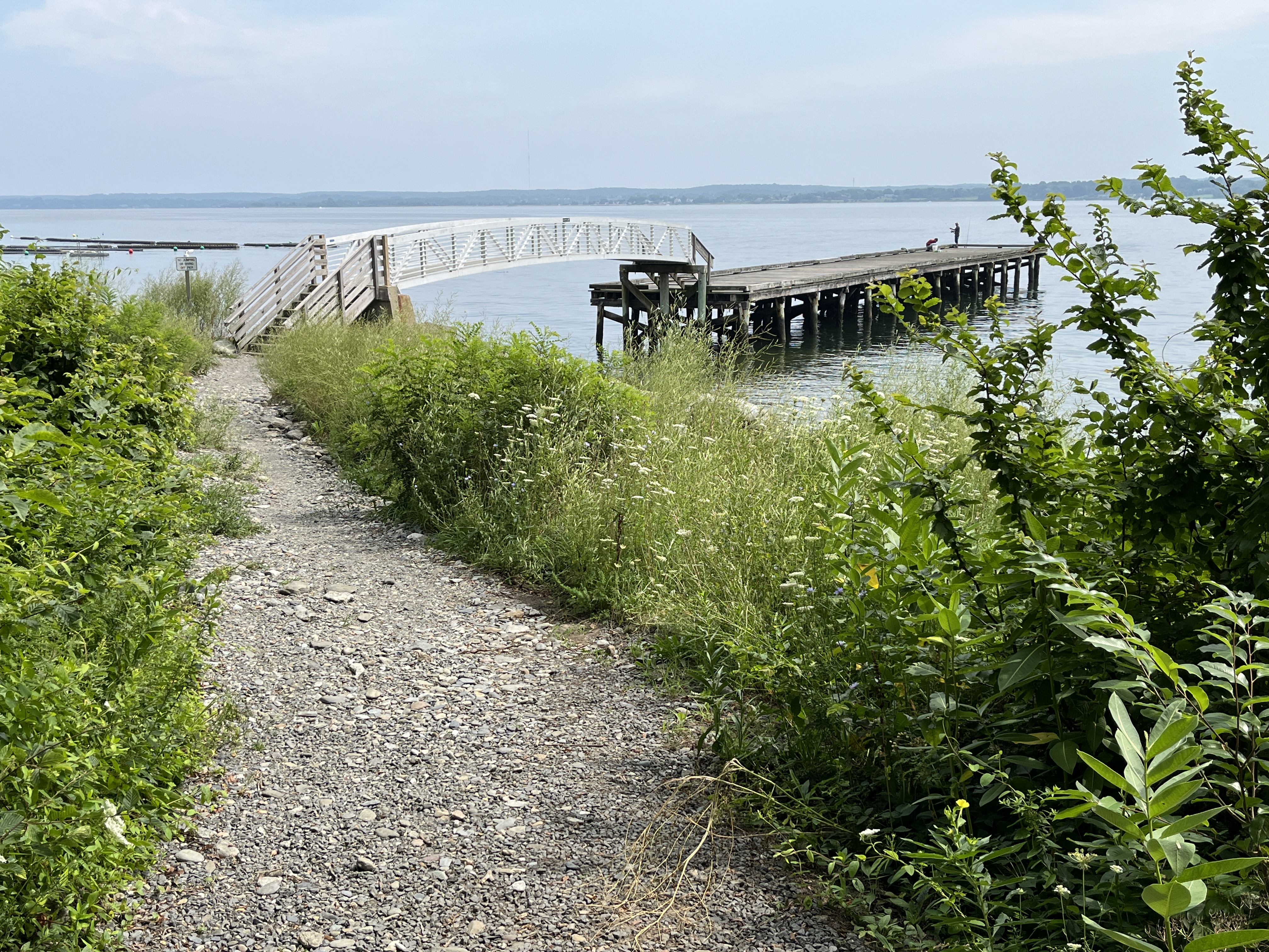
“By the Rocky Shore” explored the dock and rocky shoreline. We can see Sandy Point Beach in the distance to the right. Our town beach was a gift of the Taylor family. To the left is an oyster farm. Life along this shoreline depends on the constant cycle of the tides. The current dock is a replacement for the original “L” shaped dock that the Taylors used. You may see fishermen on this dock and it is a good place to watch for marine birds.
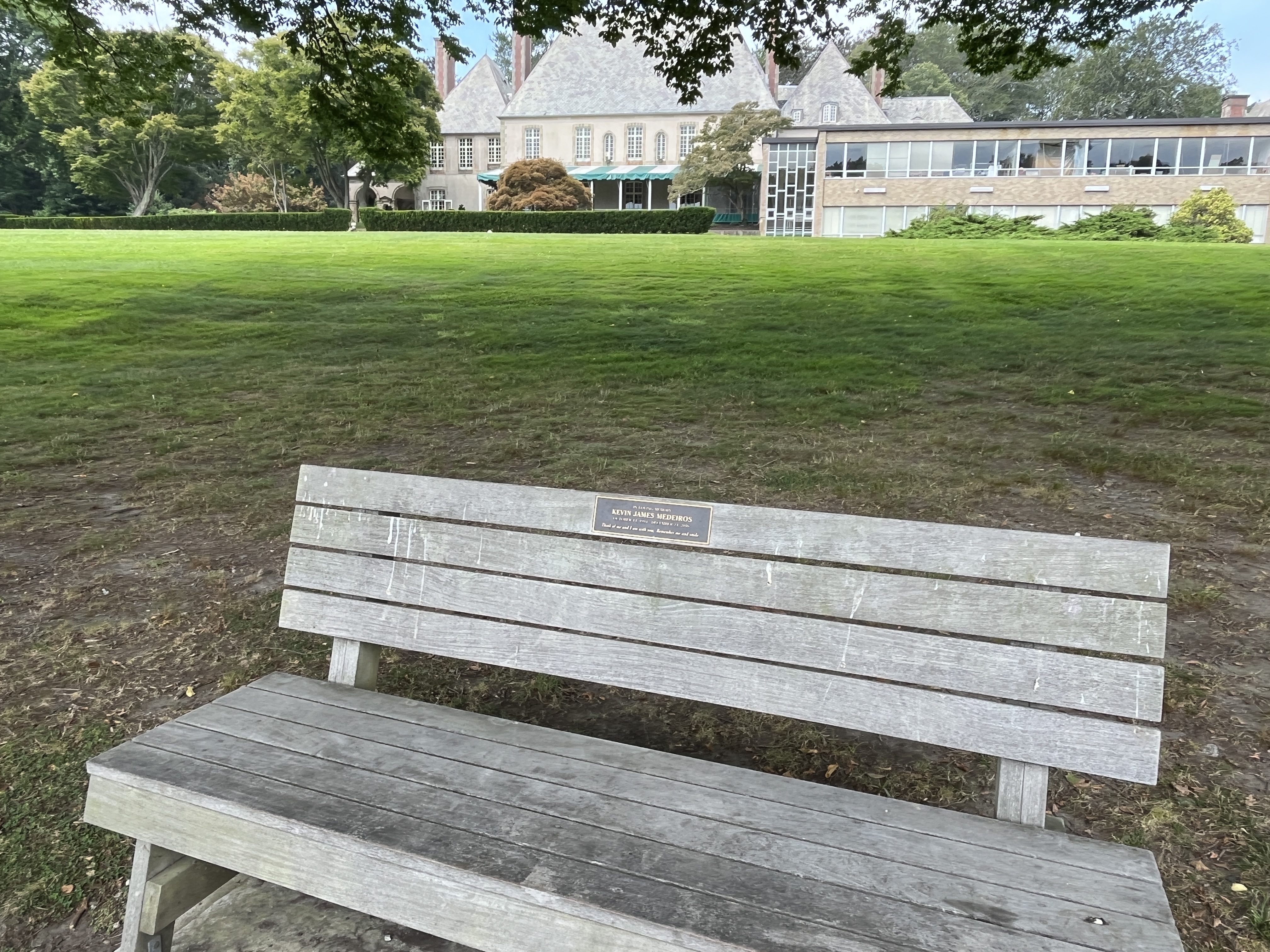
Heading back to the trail we see the Glen Manor House and its gardens. Landscaped gardens are a different kind of habitat. The Olmsted Brothers did the original landscape architecture. Mrs. Taylor loved fresh flowers and varieties were selected that would bloom while the Taylors were in residence during July and August. The “In the Garden” section suggested that as you look at the gardens from a distance, you can look for geometric shapes in landscape designs.
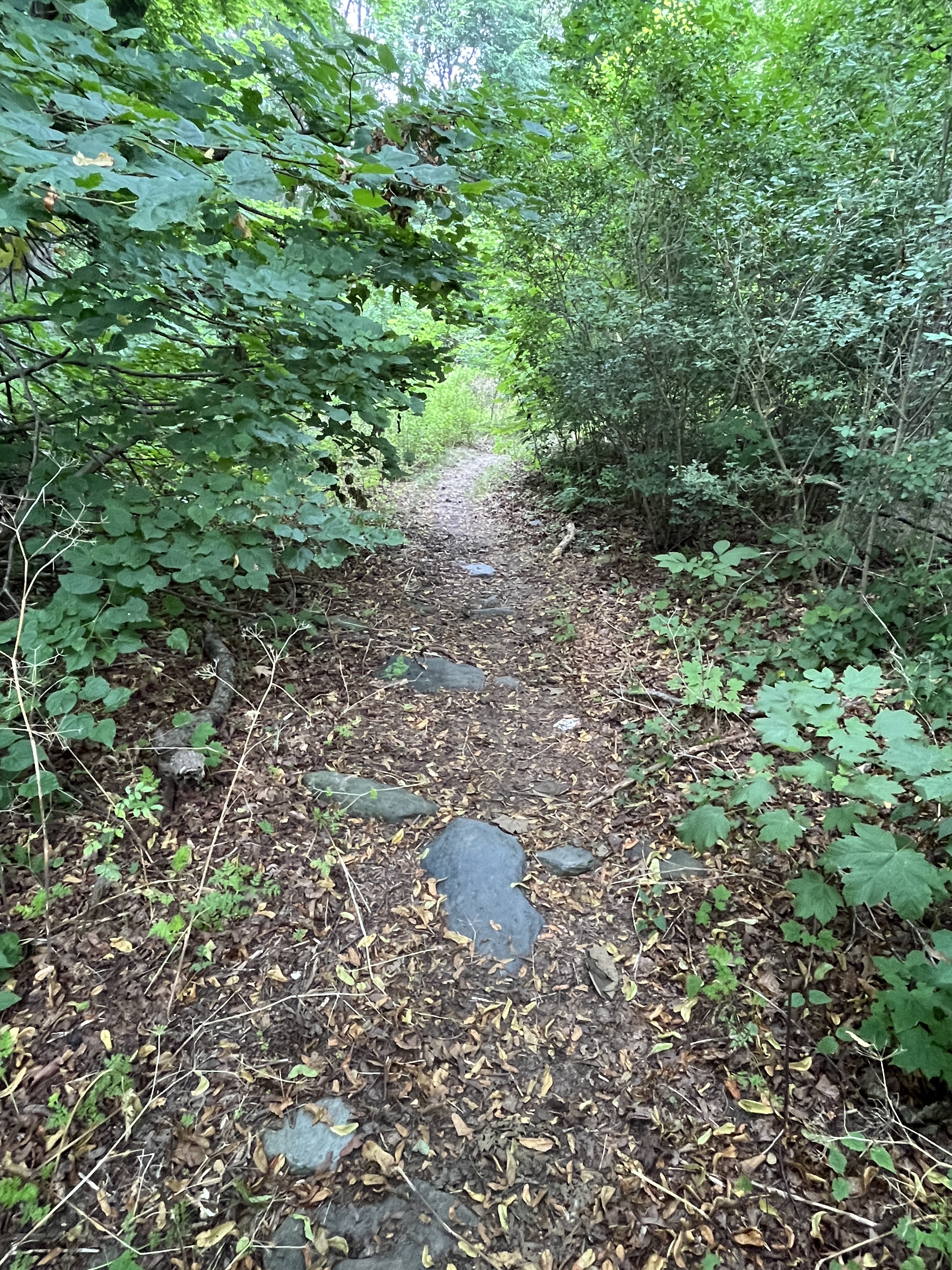
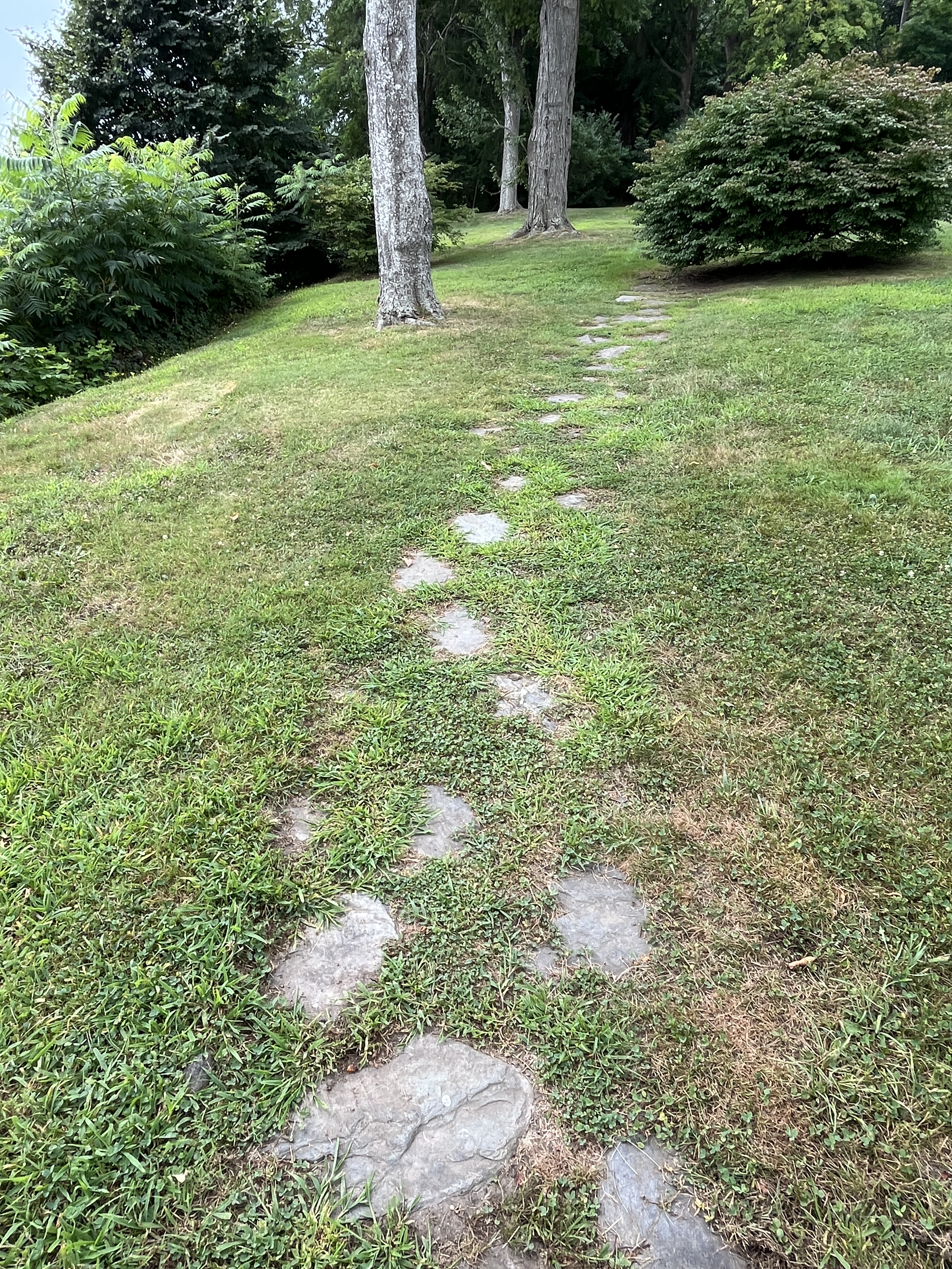
A walkway of stones leads you “Through the Woods.” Where there are stones in the paths is easy walking, but as the path heads up the trail it is narrower.
You have to watch for tree roots, but the woods habitat is full of interesting things. My students suggested a scavenger hunt for types of fungi, bark beetle tunnels, woodpecker holes, green moss, and tree holes that were homes for animals.
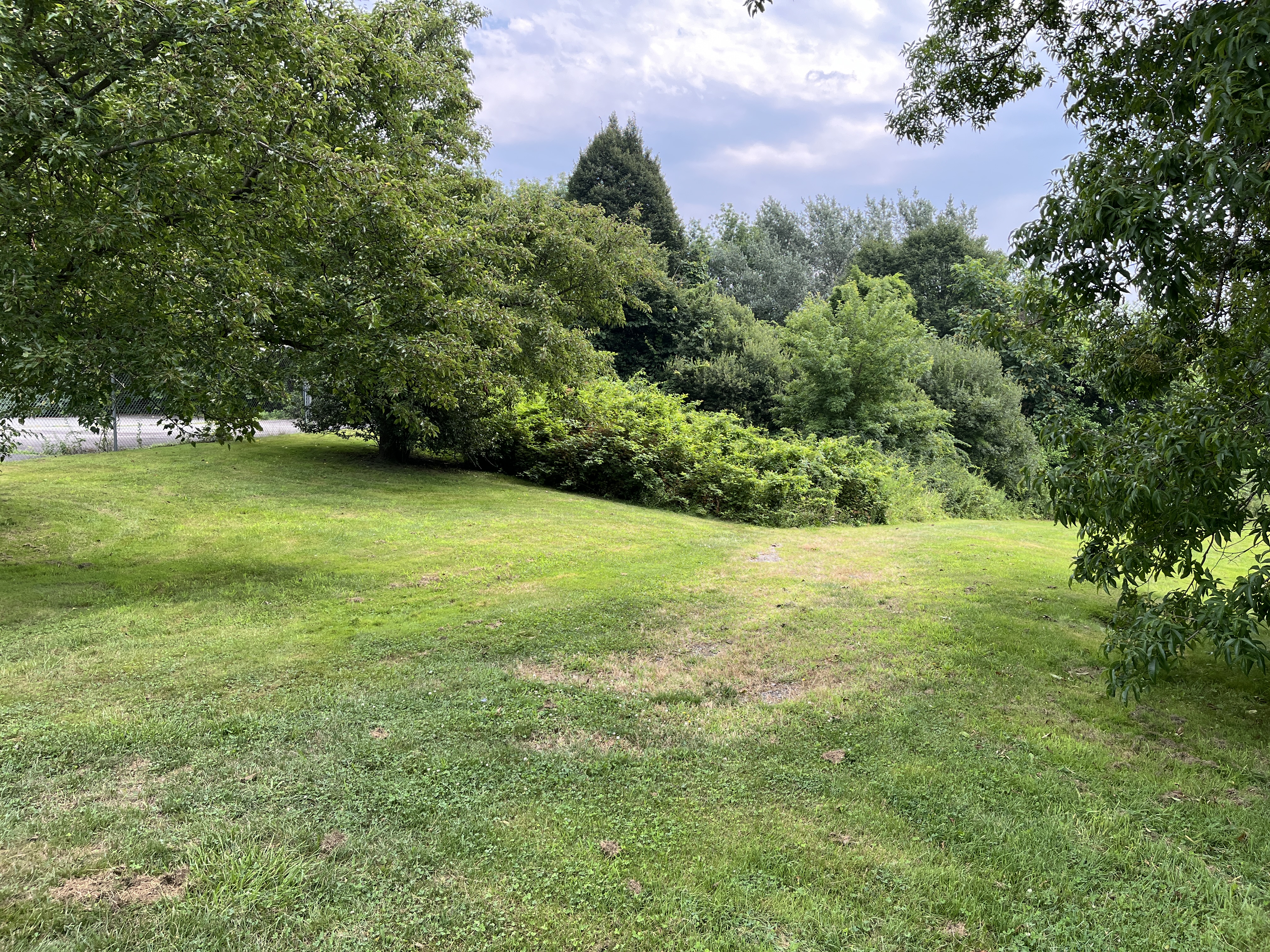
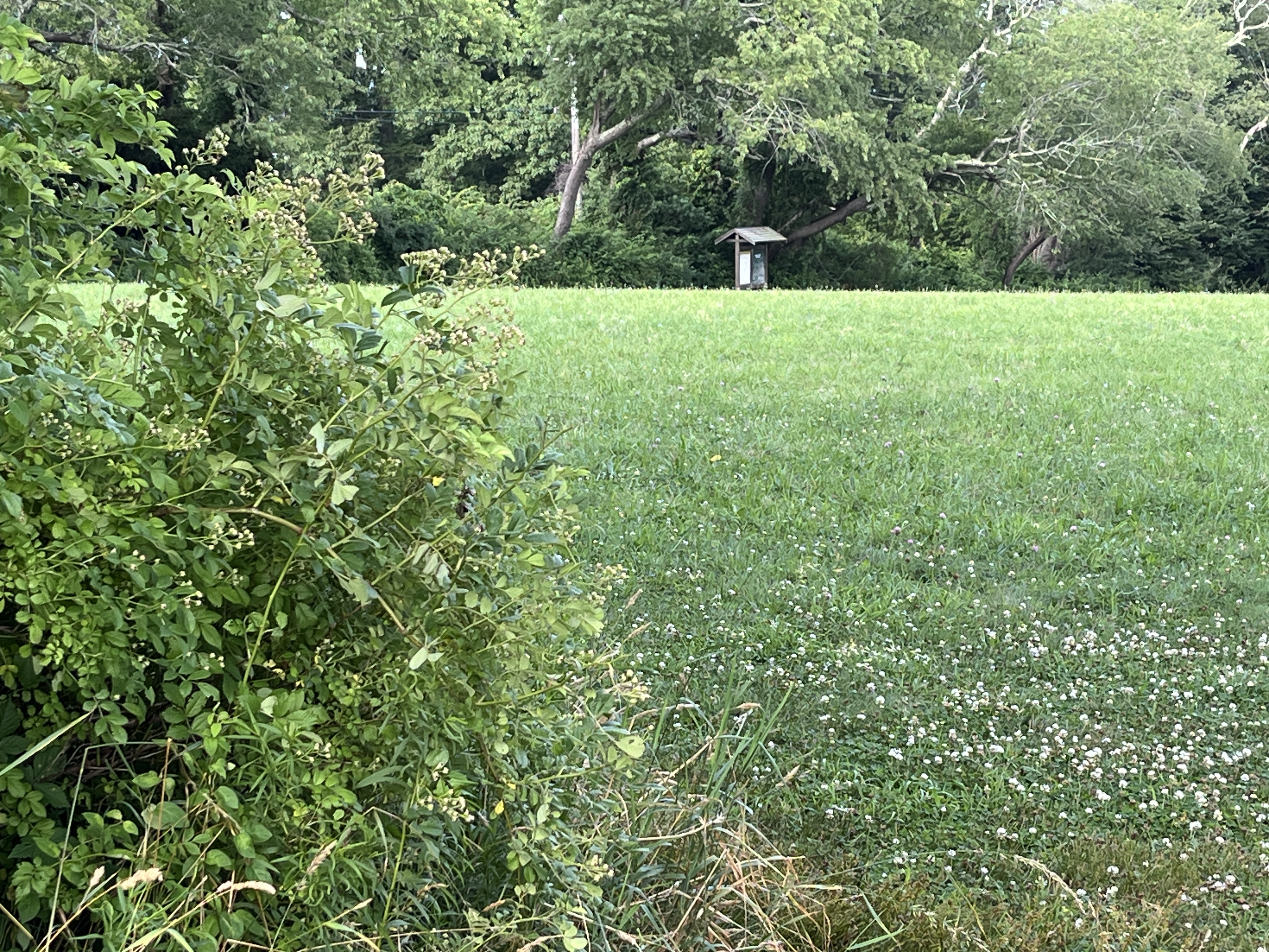
You come out of the woods to “Over in the Meadow/Field.” When we did our habitat study the fields were allowed to grow tall so we could find flowers and seeds and look for signs of animals. Today it is mostly mowed. This field is a reminder that it used to grow crops to feed the 25 families who lived and worked on the farm.
Cross the Meadow/Field towards the Trail sign that marks a longer Brown House/Glen Farm Trail. That trail is over 2.5 miles and is a good one for a longer hike. To the left of the sign is a rocky cut in the stonewall that leads you to the old Elmhurst parking lot. Cross the lot to the North entrance.
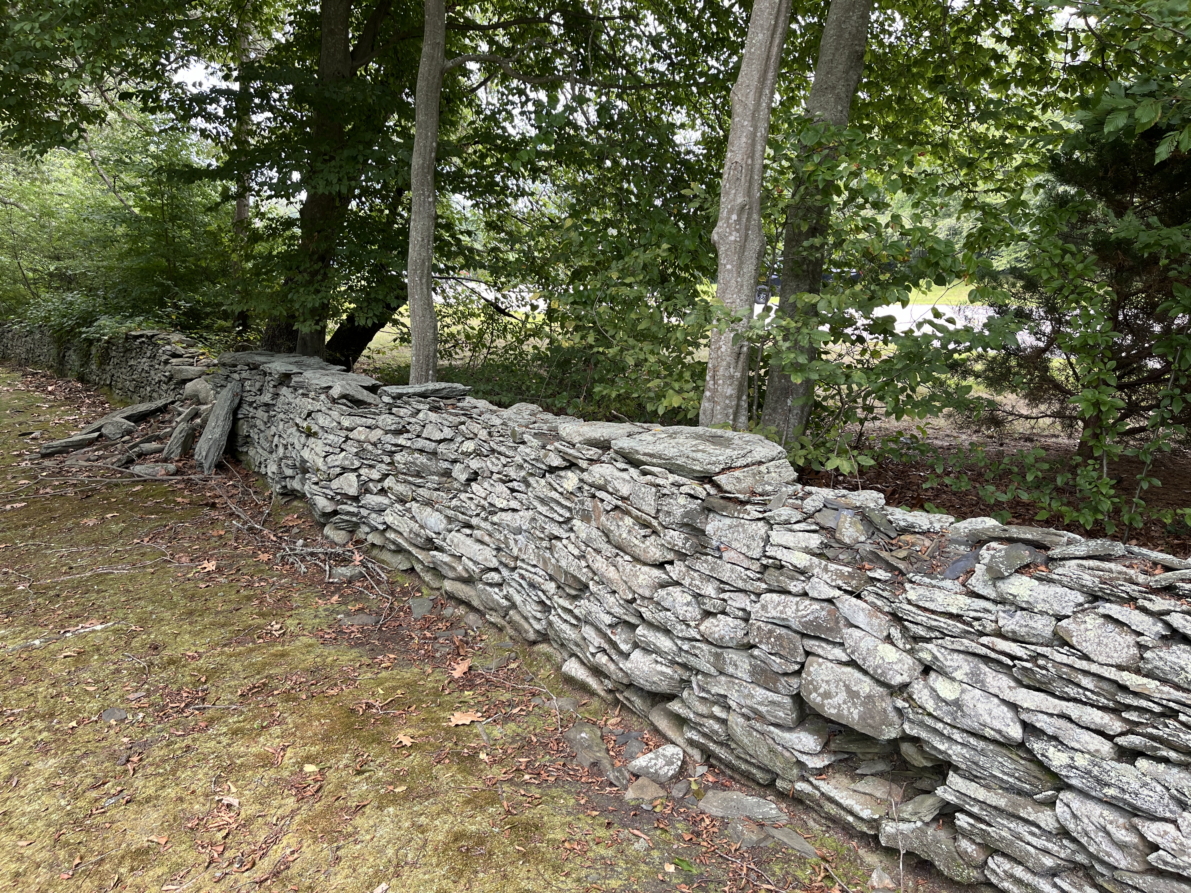
Outside the parking lot entrance, notice the stonewalls. “Around a Stone Fence” was our last natural neighborhood. The rock walls and fences are a reminder of the way this land was used in the past. They are a sign of cleared land and they were used as boundaries between pasture and cropland. The Glen area was used for farming from the 1640s (Thomas Cook) through the 1950s (Taylor family).
Stonewalls are man-made, but nature takes them over. Look for lichen (a crusty fungus growth over the rocks), and evidence of spots were animals might hide.
You are back at the parking lot.
Up a treeAlong the PathIn the GardenAround a Stone FenceOver in the Meadow/FieldThrough the WoodsElmhurst WalkwayStone walk leading to WoodsBy the Rocky Shore