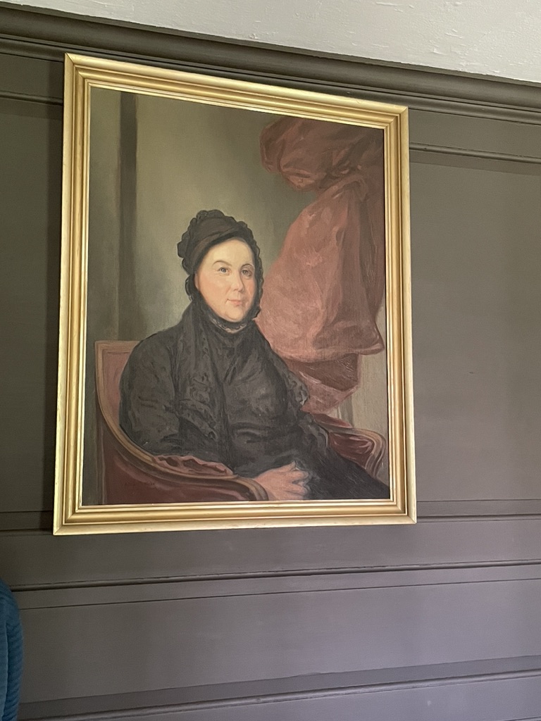
In 1780 Sarah Osborn of Newport dictated a letter to her friend Joseph Fish that gives us a glimpse of life during the British Occupation. In describing how she fared during that turbulent time, Sarah depended on God to get her through.
“The strength and courage I mentioned, which God graciously granted me in times of danger; was not the result of any confident persuasion, that I should not be slain. – No! When the bullets were whizzing around me, I realized the next might have a commission to reach me; ….I know every shot was directed by unerring wisdom and every heart of the enemy, as much at his control…thus I rested on God.”
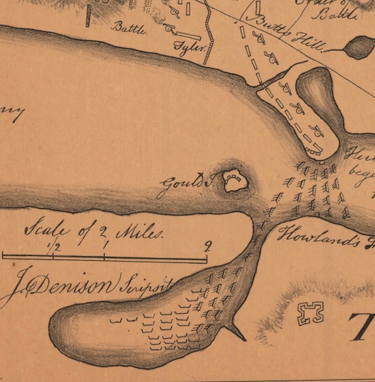
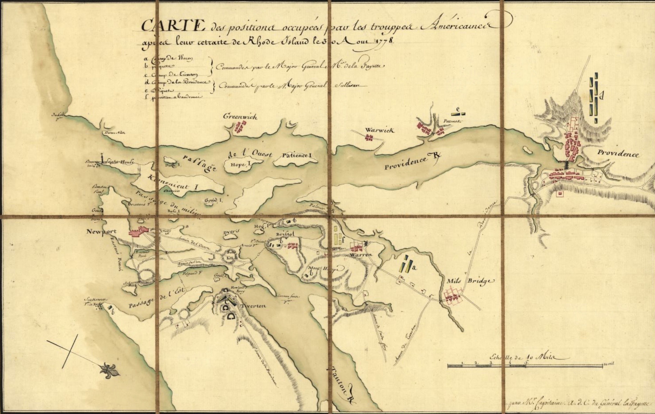
Throughout her adult life, Sarah “rested on God.” She was in her 60s and plagued with infirmities when the British invaded Aquidneck Island in 1776. With the Occupation of the British came hardships for the residents of Newport. The British destroyed property, turned homes into barracks, confiscated the crops and livestock of the people, and impoverished the town because of their blockade of ships and the ruin of maritime jobs and commerce. Forty percent of the residents fled, but Sarah and the poor of Newport had nowhere to go.
Yet, it was reported by Sarah’s pastor Samuel Hopkins in his memoirs that: Sarah had a constant supply of the necessaries of life and she received no abuse from the British soldiers as most others said. “ by her and others, that they made less disturbance and noise, than they did elsewhere; and were particularly careful not to do anything on the Sabbath to disturb that good woman, as they called her. And they took care to avoid all profane words when near her.”
What was special about Sarah and why was she known as “that good woman?” Sarah’s maiden name was Haggar. She was born in England but came to America as a child. She married at seventeen to a sailor named Samuel Wheaten who died at sea leaving her as a young widow with a baby to support. Sarah supported herself as a teacher and she opened a day school and then a boarding school. She was influenced by the “Great Awakening” when revival spread through the preaching of George Whitefield and Gilbert Tennent in the 1730s and 1740s. This revival promoted the idea of personal relationships with God. Sarah was always praying for her loved ones and church friends to have that conversion experience to be saved.
Sarah’s life wasn’t an easy one. Sarah married a widower, Henry Osborn, who had three children to add to the household. She was always poor, but she considered her dependence on God as a good reason not to resent her poverty. She constantly wrote about her spiritual journey and was one of the few women who was published at that time. She started a woman’s ministry at the Congregational Church she attended. Sarah never took the role of a pastor, but she was a charismatic speaker who hosted up to 500 people at her meetings. She hosted separate meetings for women, for men, and for freed and enslaved African Americans. Sarah’s view of slavery was influenced by the opinions held at the time. Slavery was accepted by Sarah as the norm and even as biblically permitted. When her son Samuel died, Sarah’s friends gave her an enslaved boy infant to raise. Sarah maintained a good relationship with his mother until she contemplated selling him to pay her debts. Sarah did not sell him in the end. Perhaps the influence of her pastor Samuel Hopkins changed her mind about slavery. Hopkins published her Memoirs and some of her diaries so that we know about Sarah today.
As a British born woman, Sarah regularly prayed for the King, but with the experience of the Stamp Act, Coercive Acts and Boston Massacre, she and her church family rallied behind the Patriot cause. The minister, Samuel Hopkins, hosted close to 80 women spinning at the rectory to facilitate sewing homespun instead of fashionable clothes. Sarah would later call the English “the enemy” in a letter to a friend. With the destruction of their church building, Sarah’s humble quarters served as a center for activity.
Sarah rested in God and she was grateful for the provisions He made for her. Even the British soldiers could sense her goodness.
Sarah Osborn’s World by Catherine Brekus is a great source of information on Sarah.