
From West land-grant map.
The Town Pond is in the news because an Oyster Farm is in consideration for the location. The pond was an important part of the early days of Portsmouth, but fell on hard times when it was used as a dumping ground. Restoration projects have help to restore it to some level, but it is hoped that the Oyster Farm proposed might continue to improve the ecosystem.
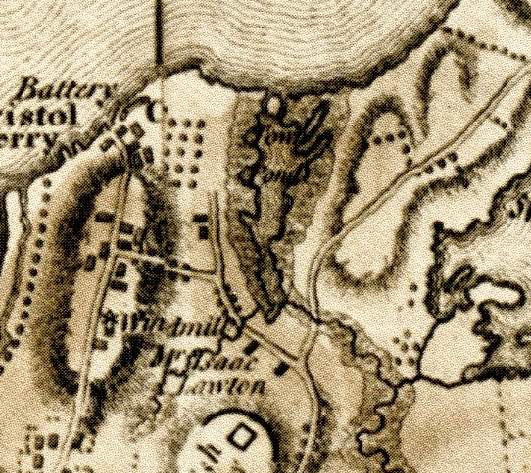
From Rev. War map
The Town Pond area was important to the early settlers of Portsmouth. They landed near the area in 1638 when they first settled the area. The pond allowed entry to the settlement area from Narragansett Bay and it was close to a brook for drinkable water and a cove for entry to the Sakonnet River. It was a salt (tidal pond) until 1949. At that time it was filled with dredged material and became a mudflat. With the help of Senator John Chafee, Congress authorized a “Narragansett Bay Ecosystem Restoration Study” that included restoration of the pond. The work of restoring the pond took 3 years (2005 to 2008). You can walk along the pond to the shore. There is a parking lot off of Anthony Road near Boyd’s Lane. You might imagine what the pond looked like in colonial days.
The maps in this blog show the Town Pond as mapped out at different times in Portsmouth’s History – Revolutionary War times, 1848 and as historian Edward West rendered it in the 1930s when he compiled his land grant maps.
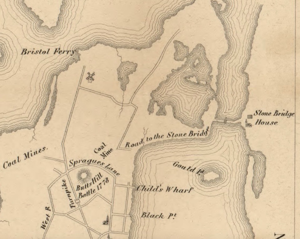
From 1848 Hammett map.

Portsmouth Places: Town Pond - Portsmouth Press
May 11, 2020 @ 18:00:06