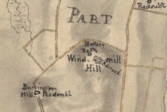
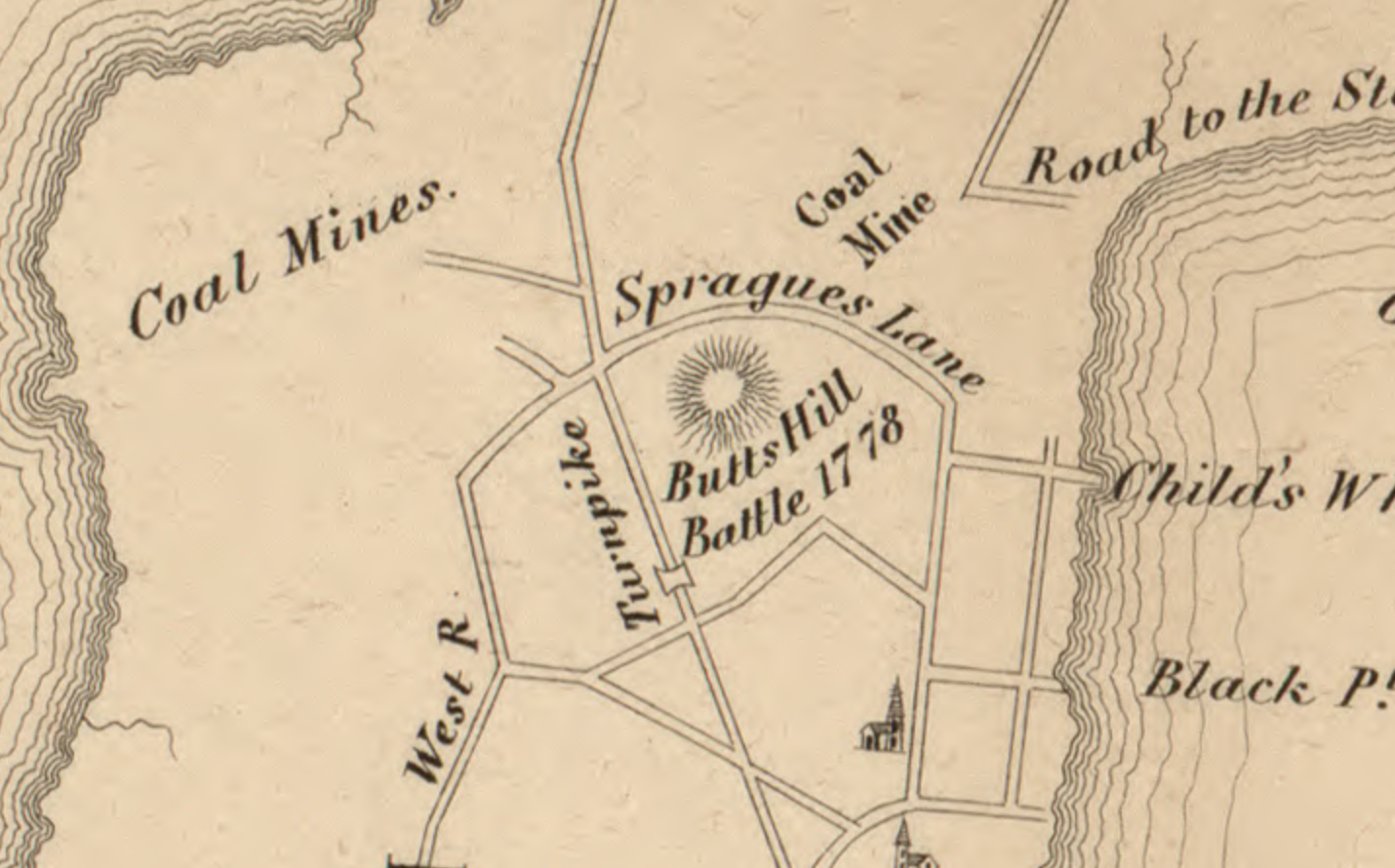
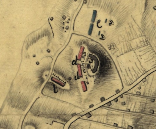
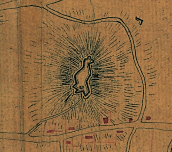
We are collecting maps and blueprints that give us an image of Butts Hill Fort. If you have one to add to our collection, let me know, we would be happy to have it. Maps and diagrams are such an important primary source and we can learn from them.
-
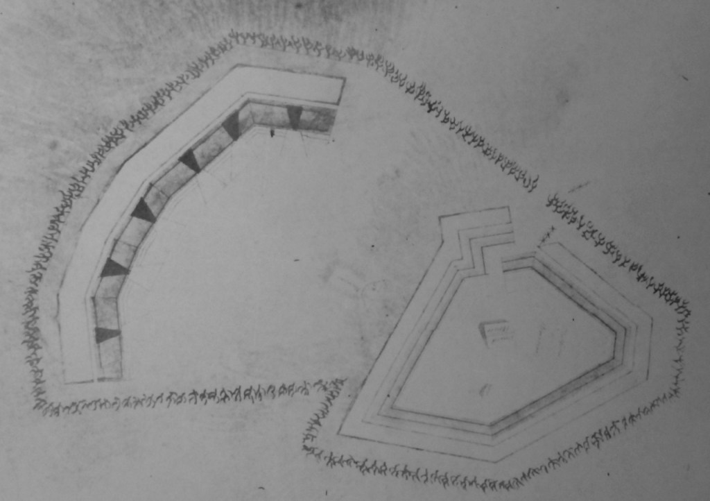
FAGE blueprints 1778 -

1910 map -
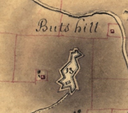
Rochambeau Map 1781 -
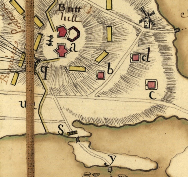
French map 1778 -
FAGE map 1778 -
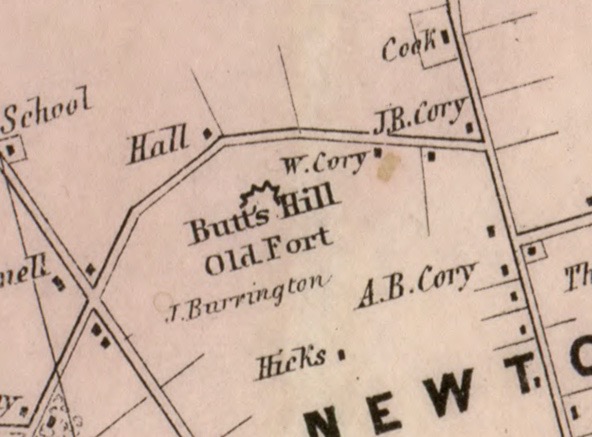
1850 map -

FAGE 1778


Schiffer, J. C. 1777
Created / Published
[1777]
Subject Headings
Rhode Island (R.I. : Island)–Defenses–Maps, Manuscript–Early works to 1800


Oct 31, 2021 @ 14:31:17
and how about photos??
>
Oct 31, 2021 @ 14:38:59
Working on that now.
>