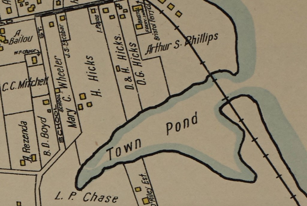
As we look to preserving the earthworks Butts Hill Fort, I wondered about the land history. Who owned this piece of land we are trying to preserve? How has this tract of land been used throughout Portsmouth history. Finding the answers to those questions is not so easy. Although Portsmouth has kept excellent land records, my skills in tracking back ownership are somewhat lacking. Let me share what I have gleaned through maps, historical records and secondary sources. I have tried to confirm as much as I could through Portsmouth land records and genealogical records. This is a work in progress, so maybe those knowledgeable in family genealogies can help me to find confirmations or missing links.
Part 1 – From Land Grant to War for Independence
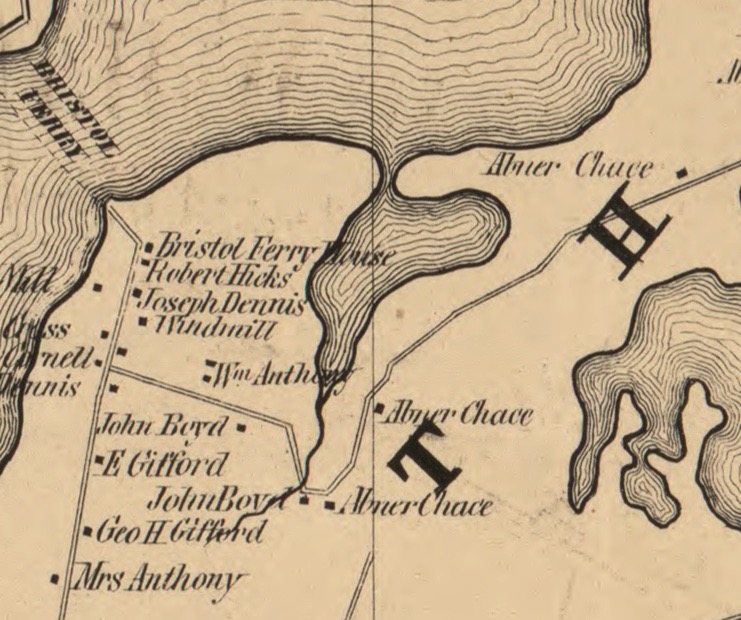
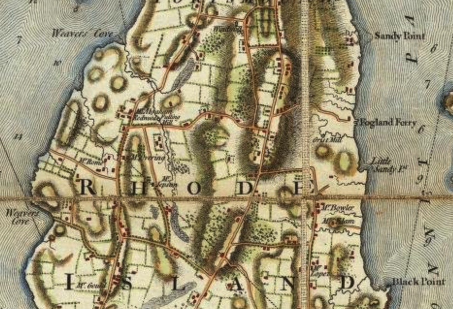
Land grant: I usually start research by looking at West’s Land Grant maps to identify the original owners. Looking at these maps led me to believe that the land was town owned for many years. I do have a confirmation of the Durfee family on that land because town records show that in February of 1729 Thomas Durfee left “a parcel called the Wind Mill Hill land” to son Gideon Durfee.

1638 to after 1708: The Town of Portsmouth retained the property we know as Butt’s Hill. The Town, however, permitted a windmill to be erected so that the windmill was owned by other familiar Portsmouth families. The handing down of the Windmill and the land around it was recorded in the town records.
1657: William Cory and William Earl applied to the town council to trade a piece of land for land on Briggs Hill to build a windmill.
1665: The hill land (or pieces of it) was owned by Caleb Briggs.
1668: A windmill is erected by William Earle and William Cory. Cory is known as a carpenter and miller. Cory and Earle are brothers-in-law.
1682 (Feb 24, 1682). William Cory (carpenter and miller) in his will gave the windmill to his wife Mary.
Mary traded land back to the town.
1721: Caleb Bennett inherits the windmill from father Robert Bennett. Robert had married Anne Cory. Perhaps the windmill and land came from her family.

1725 January 15, John Butts bought of Caleb Bennett the windmill and about one rood of land (about a quarter of an acre) on Windmill Hill. This I was able to confirm through Portsmouth land evidence.

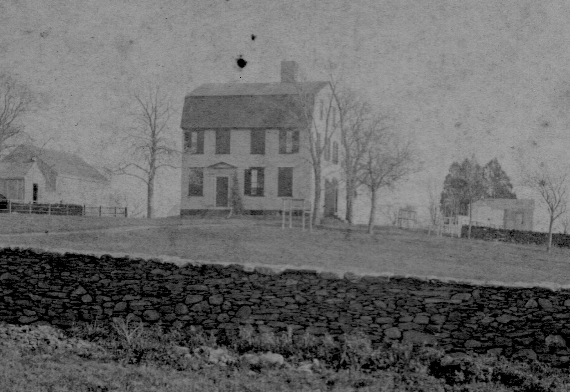
At this point the area was known as Windmill Hill or Butts Hill. The Fage Maps called it “Windmill Hill.” In the family genealogies I don’t find evidence that John Butts or his son John Butts, Jr. were millers or farmers. There was a Butts family homestead that was torn down in the 1870s. Before the War for Independence some members of the Butts family, including John Butts, Jr., were ship owners.
According to a Butt’s family genealogy: “The name of the fort was given in honor of John Butts and his family for their loyalty, and aid given patriot Army during the struggle for independence. John Butts occupied the homestead of the Butts family, and was engaged in the shipping interests of the Island. The *War of the Revolution” was a great disaster to him; the British warships captured or destroyed his little fleet of vessels and the army swept everything from his land. He was greatly respected by the people among whom he lived, and the soldiers of the Patriot Army. To his honor and patriotism the fort which they struggled to defend was named, and from that time has been known as “Fort Butts.” It is also said that the industry of the Island is largely due to his energy and influence. He married Susanna, daughter of William and Susanna Cornell, of Portsmouth, August 17, 1767.” **
Looking at their genealogies, the family didn’t seem to come back to the land at the end of the War. Family members were active in rope making not milling or farming and moved to other parts of the state.
** (Source: Francis Butts, 1891 The Butts Family of Rhode Island, a genealogy and biography. http://rs5.loc.gov/service/gdc/scd0001/2007/20070619024bu/20070619024bu.pdf )