One of my favorite Portsmouth historians is Edward West. He wrote an article for the Rhode Island Historical Society: From the Lands of Portsmouth: A Glimpse of Its People. Edward West. Rhode Island Historical Society Journal, July 1932. In it he tours around early Portsmouth neighborhoods and relates stories and features of the areas. I am using his work to share the early mills that were in Portsmouth in settlement and colonial times. The whole article is a good read, but I am only pulling out the mentions of mills.
“Going down the west road, known in 1717 as the Kings High Road, we come to another brook. This must have been very much larger in the early days, as it was then known as the Mill River or sometimes as the Two Mill River. On the bank of this river, nearly down to Freeborn’s Creek, stood the mill of James Sands and Samuel Wilbur, the land being granted for it in 1642. William Freeborn purchased it in 1655 and it remained in that family until after 1800. John Tyler also had a mill on this stream.”
“Continuing along this road we come to what is now the property of the U. S. Government. This was part of the 240 acre grant to William Baulston. There is a small stream running through it on which stood the mill, built by George Lawton in 1648. There was also a way left to this stream to give access to a watering place.”
“Next we come to the Wading River on which stood the mill of George Lawton, who was granted 40 acres “when he hath built a sufficient mill for Mr. Baulston.” Most of his land was on the east side of the road, he having only enough for a mill and his house on the west side.”
“The Glen. This was granted to William Brenton but was acquired by Giles Slocum, who built a fulling mill on the bank of the stream.”
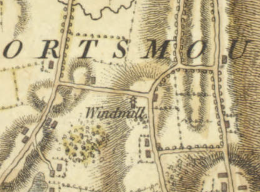
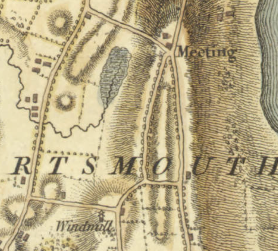
“Turning to the right, we come to Watch Hill. On the corner of Mill Lane, a road cut through in 1713, was a piece of land left to the town in the 1713 grants. On it was a watch house, although at that time it was in a dilapidated condition. Later on this land was used for a wind mill with the understanding that: ” that in time of war the town be not restricted … in building a watch house thereon for the convenience and safety of the said town.”
“Turning up the road on the left we come to Wind Mill Hill, now called Butt’s Hill. In the first records this is called Brigg’s Hill. There was probably a wind mill erected here very early. In July, 1667, the governor gave orders for the erecting of a beacon on Mill Hill.”
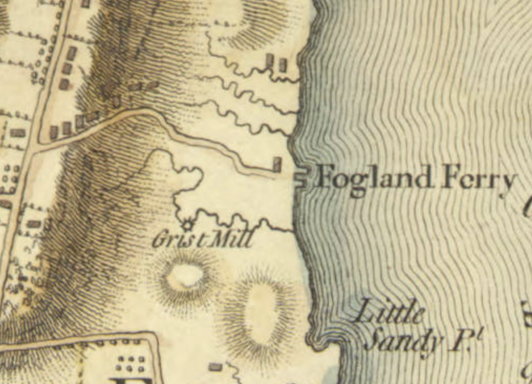
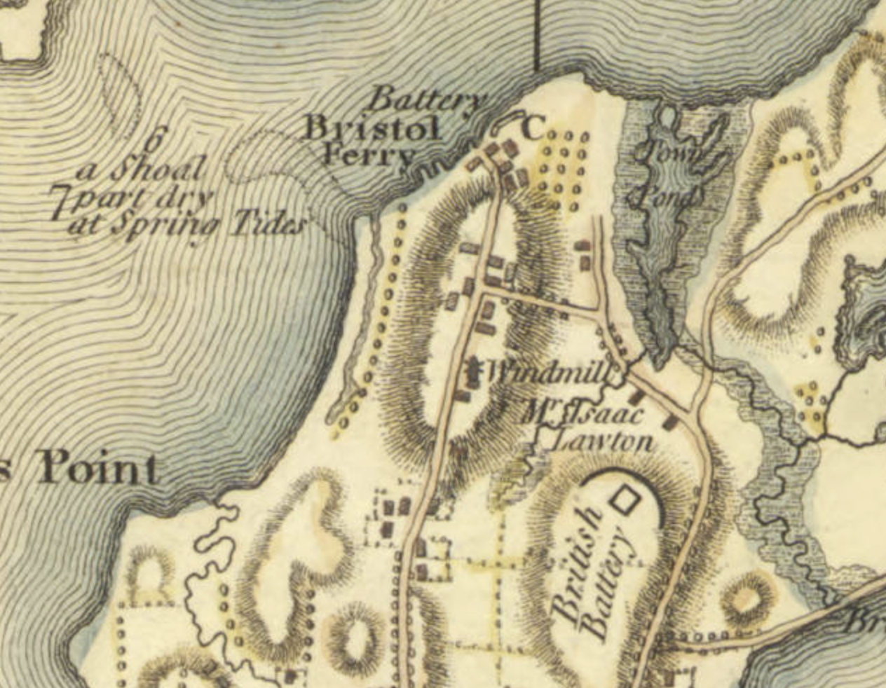
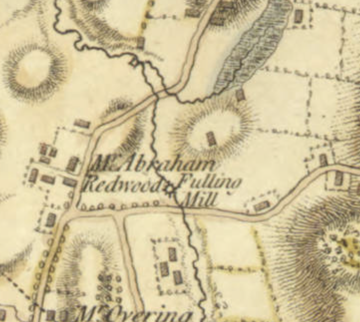
Other Mills on the Blaskowitz map don’t quite match the early mill descriptions. I have put some of my guesses in the captions


Leave a comment