Principal Bob Ettinger greets students on the first day of school 2009.
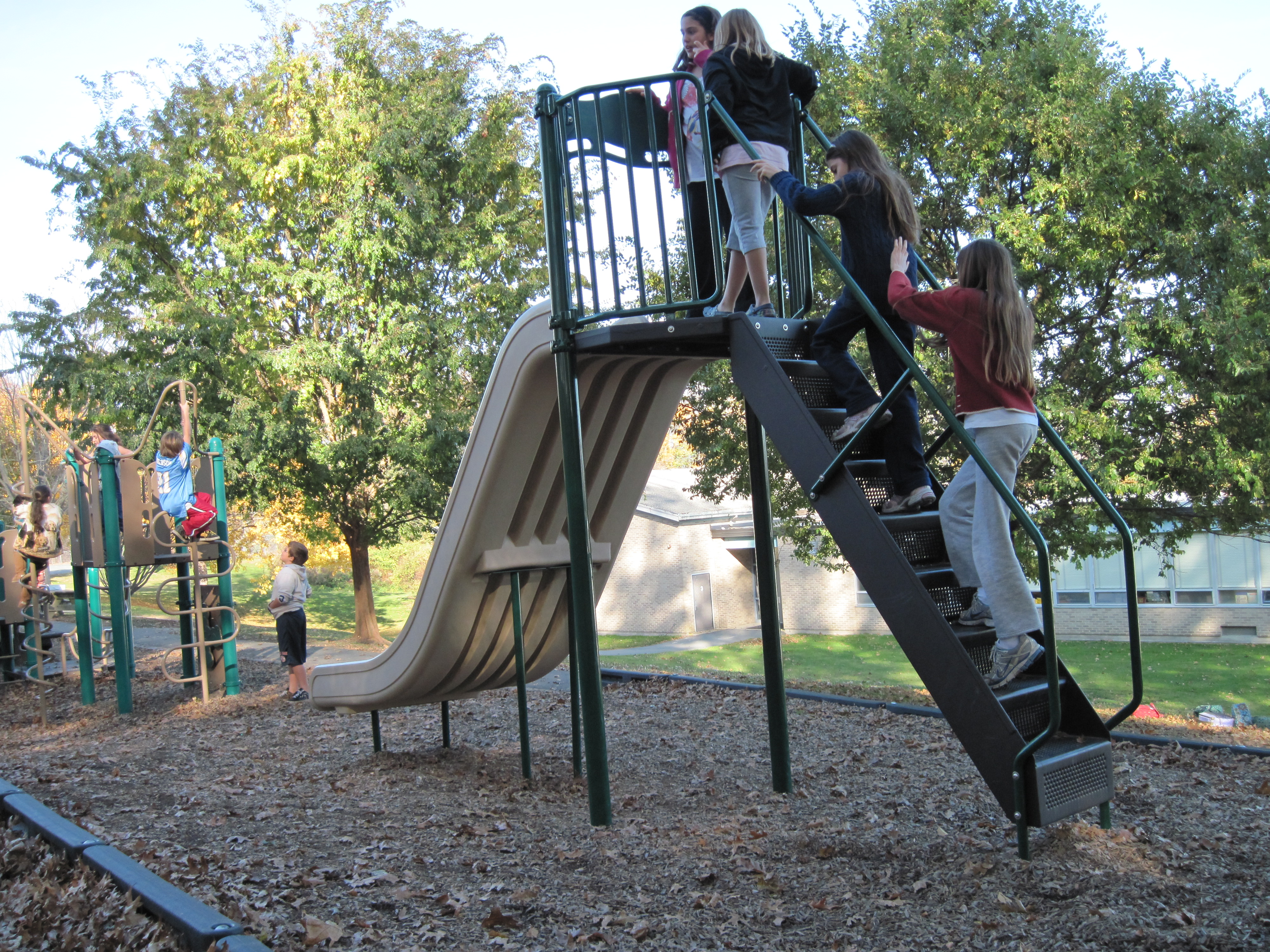
- Happy children on the Big Toy during recess, 2009.
As Portsmouth children go back to school, my thoughts turn to the excitement of the first days of new years at Elmhurst School. As sad as the school building is now, I have great memories of Elmhurst Elementary School. When Elmhurst Academy closed in 1972, the Town of Portsmouth purchased the property primarily because the school rooms were needed.
The fourth grade class of 1995 worked with me to write an oral history of the school. We interviewed teachers who remembered the first days in 1973 that Elmhurst served as a public school. Richard Donnelly was the first principal and Ruth Sears remembered that opening day was so hot that Mr. Donnelly wore shorts! Students were coming from Hope and Anthony Schools and later Coggeshall School. The faculty and students had to create the culture of a new school.
There were many problems to be solved. Eileen Lacazette shared that one of the first problems was that there were no bathrooms for the boys. They had to be created and they didn’t quite look like typical bathrooms. Music teacher Susan Woythaler remembers that the original classrooms for the private school were tiny, but the classroom size for the public school didn’t fit well. They made the best of the small rooms the first year, but later walls had to be removed to create more efficient space for an elementary classroom.
After shepherding the school through its first year, Mr. Donnelly went back into the classroom. Mr. Crudup became the first long-term principal followed by Al Honnen. There were many physical changes in the building during Mr. Honnen’s leadership. Classrooms were added, the chapel was made into a cafeteria and gymnasium. Mary Foley, Dennis Silva, and Hathaway’s principal Robert Ettinger were all Elmhurst School leaders. All the principals leaned on School Secretary Ruth Ziegler. She kept the school running efficiently.
It was a joy to come to work at Elmhurst. The school setting was beautiful, the staff was dedicated and the parents were so supportive. Elmhurst traditions added to the school culture. Third grade teachers introduced “Egg Drop” day where students had to invent designs they hoped would protect their raw eggs when they were dropped from the roof by custodians (beginning with Mr. Augustus). Market day for kindergarten and first grade grew out of a project for including the arts into subjects like science and math. We turned the library into a market and watched third grade students make presentation of plays about seeds. Field day was one of the oldest events when fourth grade students ran sports games for the other students. Even Elmhurst Academy had a field day.
Piano Day, Colonial Fair, Immigration Day, Gingerbread Houses, Family Math and Science Nights, Arts for Life Week were all well loved traditions for a while. As librarian, Reading Night was dear to my heart. Themes of Arthur, Magic School Bus, Where in the World is Mrs. Foley, drew families for after school fun.
When the decision was made to close Elmhurst in 2010, I felt fortunate that I was retired and did not have to take my library collection apart. It was a good school and it is sad to see it closed and vandalized now. It would be good to see children playing in a new park if the school building is torn down.