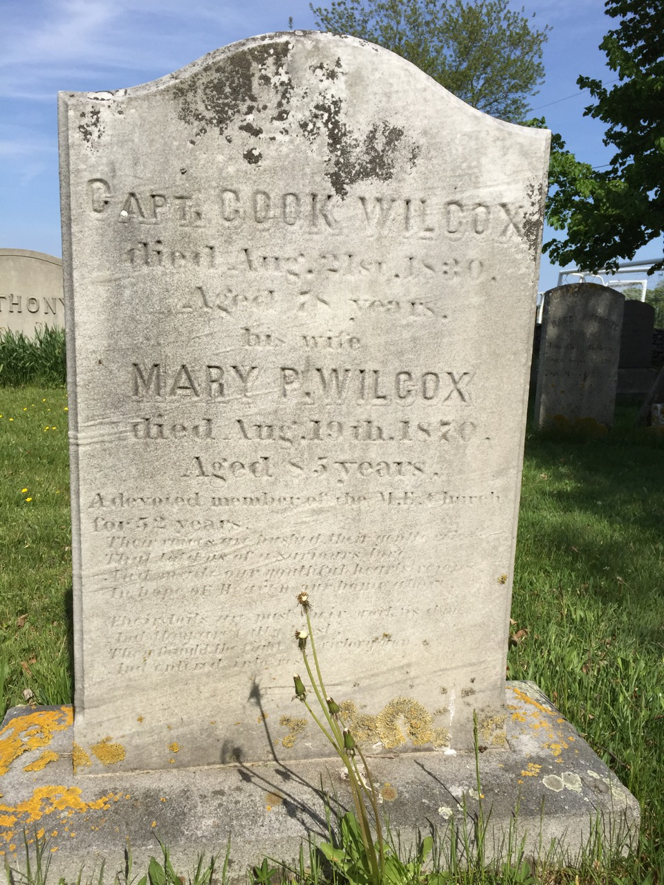
Cook Wilcox (1752-1830) is a name I have come across many times in the 30 years I have been researching Portsmouth history. I first came across his name when I was doing research on the Leonard Brown House. The Seveney Athletic fields are what we see today as we walk down Linden Lane were once the farm of Cook Wilcox, a descendent of Thomas Cook. The Cook (Cooke) family were among Portsmouth’s earliest families and their land grants ranged from East Main Road to the Sakonnet and from Glen Road to Sandy Point, an area that has been traditionally called “The Glen.” The men of the Cook family migrated to their holdings in Tiverton, so the women of the family brought the Glen area property into their families as they married. Cook Wilcox was named after his mother’s side of the family. When Cook Wilcox died in 1830, the farm was left for his wife Mary (Perry) use until her death. The land was passed down to Cook and Mary’s daughter, Sarah, who married farmer Leonard Brown. The widow Mary must have lived with Sarah and Leonard and by 1850 the Wilcox home was removed from its location on East Main Road. Leonard and Sarah built their home further up what we call Linden Lane.
The next time I came across the name of “Cook Wilcox’ (or Cooke Wilcocks as it is sometimes found), I was working on a project with Revolutionary Era documents for the Portsmouth Historical Society. In 1774 Rhode Islanders were among those objecting to British taxes and they often avoided following British laws. During the summer of 1774 the British blocked Narragansett Bay. Two hundred and fifty British troops attacked Prudence Island and drove off the local soldiers. The Rhode Island General Assembly set amounts for what each community should supply to defend against the British. In the beginning stages of the Revolutionary War, the assembly organized branches of “minutemen” or citizen soldiers for the towns. In August of 1775 the leaders of the Portsmouth defenders were John Earl (captain), James Peckham (lieutenant) and Cook Wilcox (ensign). The Citizen soldiers would be provided by the colony with heavy guns on carriages. Documents from the collection of the Portsmouth Historical Society show that in 1776 the General Assembly ordered Portsmouth and other towns to raise a fourteen member “artillery company” which will “March out to Action” when needed.
A few years ago I was doing research on the Coal Mines area of Portsmouth for a play I was writing for the Portsmouth Community Theater. I came across the name of Cook Wilcox again. Coal was discovered on his land in 1808. This parcel of land was on the West side of Portsmouth off of Bristol Ferry Road and would have been close to the Wilcox family lands.
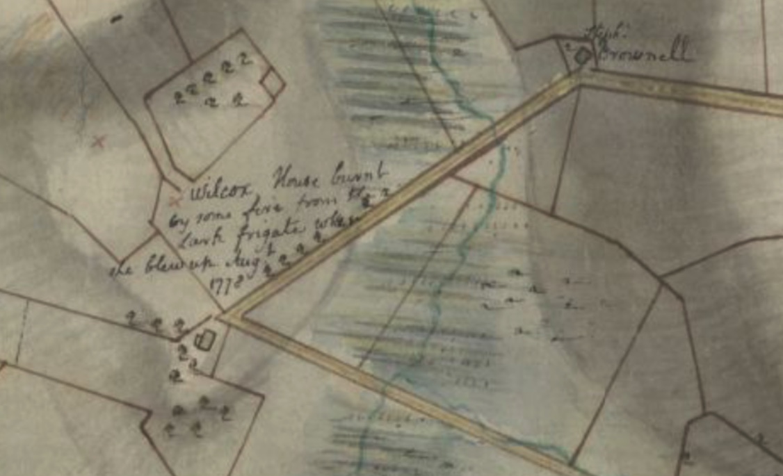
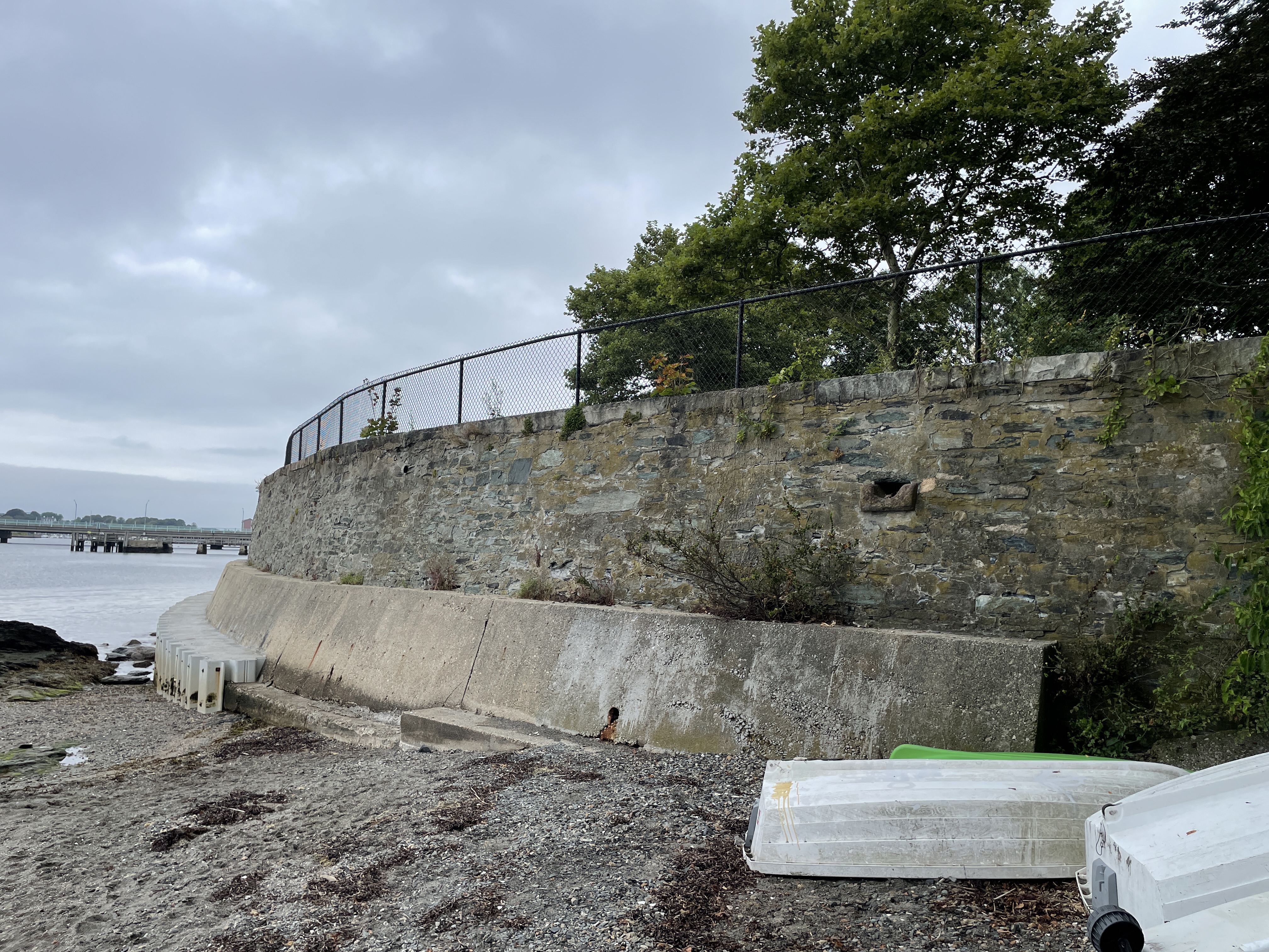
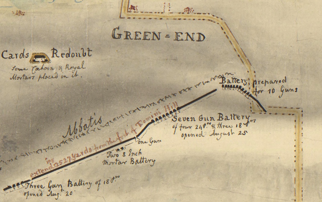
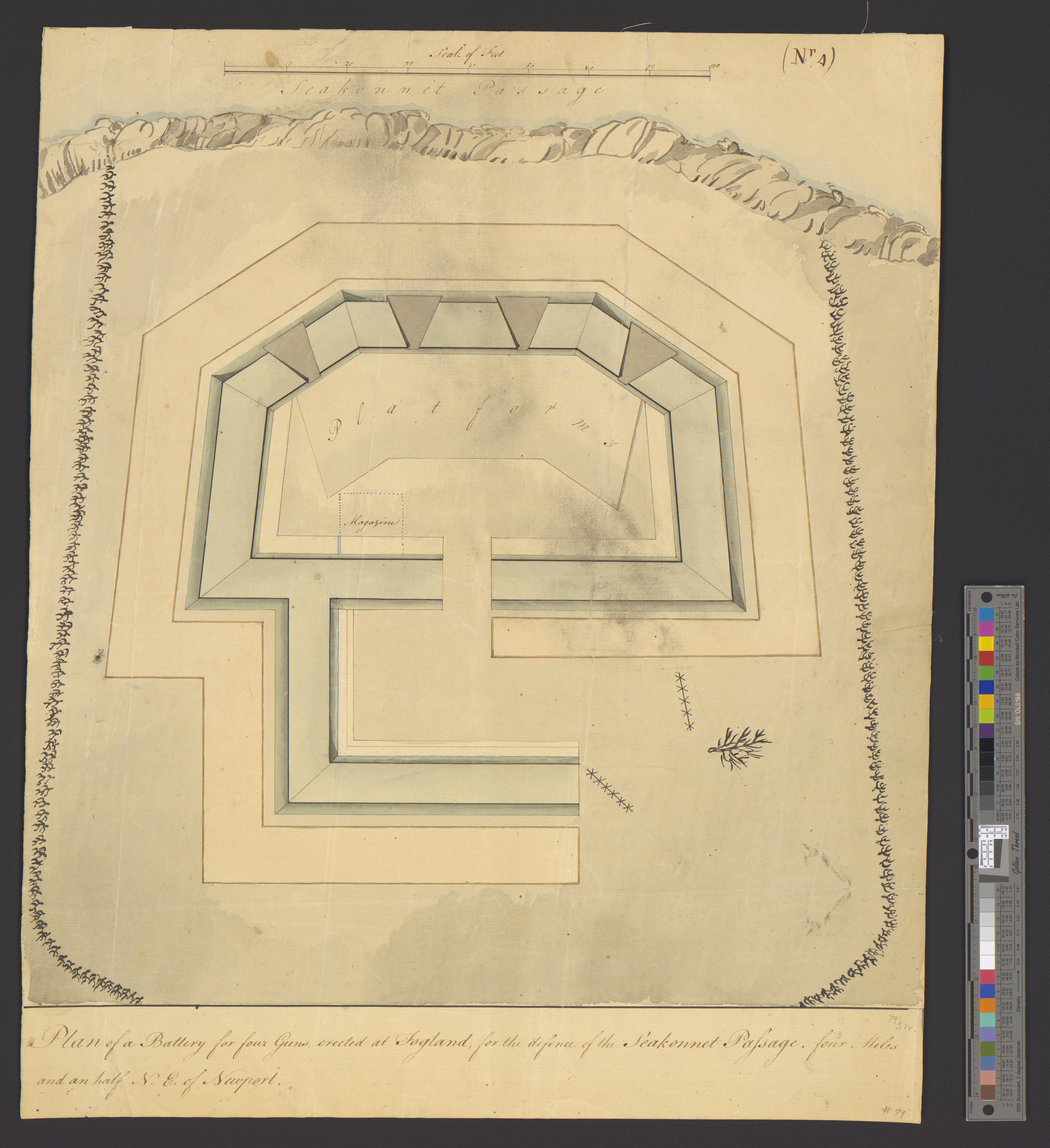
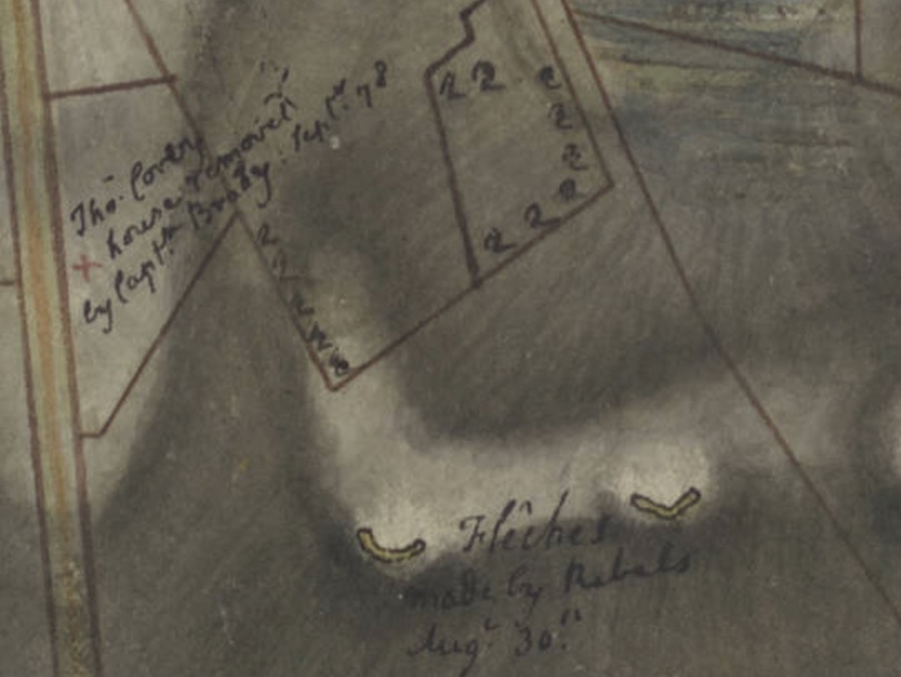
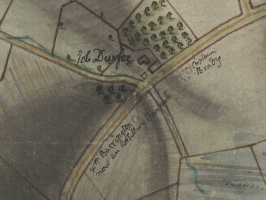
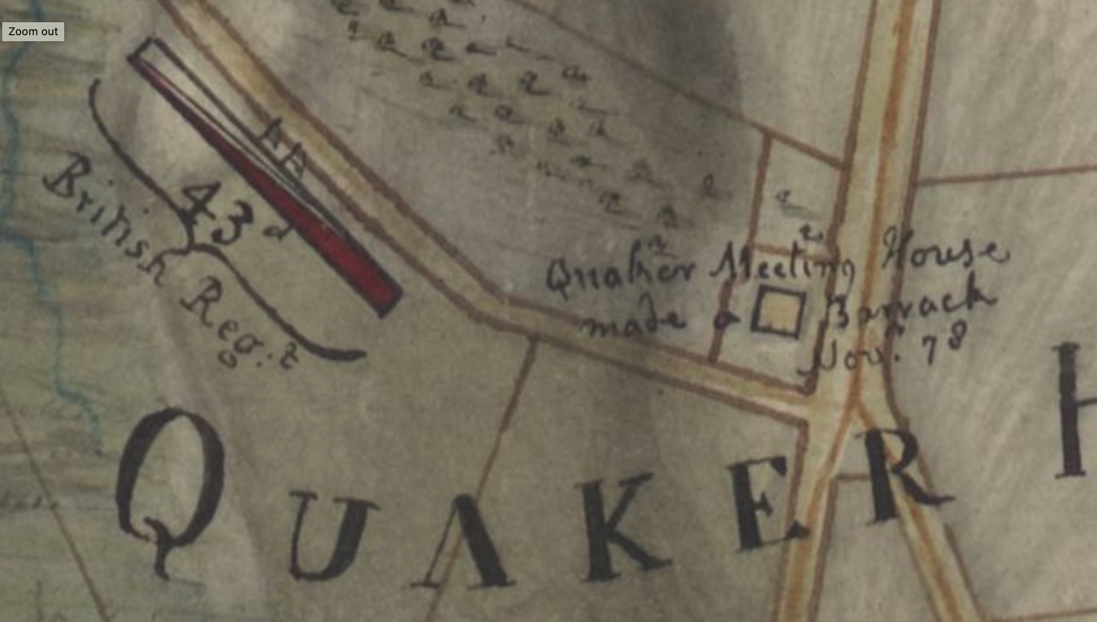
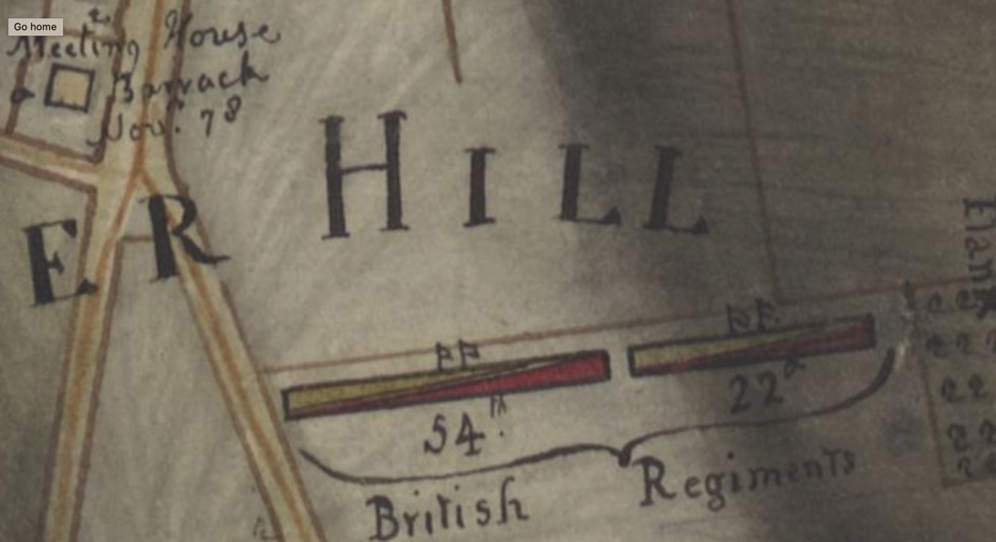
As I recently analyzed the North Portsmouth map from the Huntington Library, (a British map from 1778 describing action in the Battle of Rhode Island), the Wilcox name came up again. The Wilcox “house burnt by some fire from the Lark Frigate when she blew up August 1778.” As the French fleet was arriving in late July of 1778, the British ordered that their ships would be destroyed rather than be taken by the enemy. The frigates Lark, Cerberus, Orpheus and the Juno were no match for the French ships coming in. The Lark’s Captain Smith ran his ship aground and set her on fire. The Lark’s 76 barrels of gunpowder exploded and ignited the Wilcox home (probably belonging to Cook’s father, John Wilcox). Flaming debris landed as far away as three miles.
Cook Wilcox and his family (ancestors and descendants) are part of the fabric of Portsmouth History.